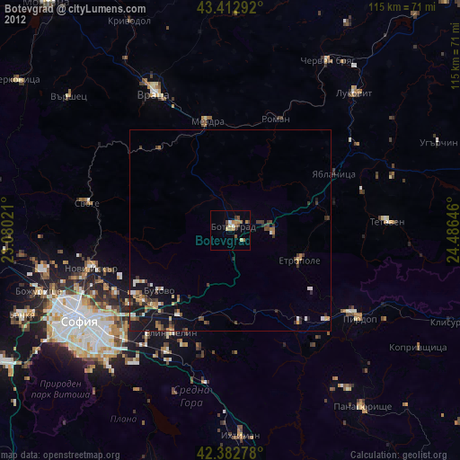
Botevgrad night lights from space
Night Light of Botevgrad (Sofia) from space (Bulgaria) Src. Average luminocity for 10x10km area is 5.481% and for 50x50km: 2.1951%.
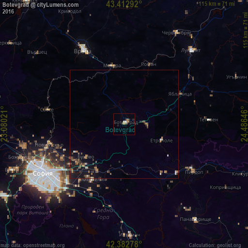
Analysis of Botevgrad night lights 2016
Square area 10x10 km:
 0.32%
0.32%90-99
0.95%80-89
0%70-79
1.75%60-69
0.16%50-59
1.75%40-49
0.63%30-39
0.95%20-29
1.11%10-19
1.27%0-9
91.11%Square area 50x50 km:
0.09%90-99
0.21%80-89
0.08%70-79
0.24%60-69
0.39%50-59
0.62%40-49
0.48%30-39
0.4%20-29
0.53%10-19
2.36%0-9
94.6%Clear (daylight) street map image can be seen on geolist.org.
Map coordinates:
43° 24' 46.5" North, 23° 4' 48.8" East
42° 54' 0" North, 23° 46' 60" East
42° 22' 58" North, 24° 29' 11.3" East
Some cities around Botevgrad sort by population:
• Vratsa
38.9 km =24.2 mi,  332°
332°
• Mezdra
28.6 km =17.8 mi,  346°
346°
• Etropole
19.2 km =11.9 mi,  112°
112°
• Teteven
39.4 km =24.5 mi,  87°
87°
• Svoge
36 km =22.4 mi,  281°
281°
• Pirdop
39.5 km =24.5 mi,  124°
124°
• Elin Pelin
29.9 km =18.6 mi,  209°
209°
• Zlatitsa
35.1 km =21.8 mi,  125°
125°
733014 (p: 20,909)
Sources (retrieved 2019-11-25):
» Earth at Night: Flat Maps 2012, 2016