Devin night lights from space
Night Light of Devin (Smolyan) from space (Bulgaria) Src. Average luminocity for 10x10km area is 0.5747% and for 50x50km: 0.4257%.
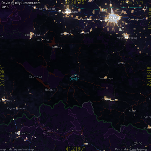
Analysis of Devin night lights 2016
Square area 10x10 km:
 0%
0%90-99
0%80-89
0%70-79
0%60-69
0%50-59
0.65%40-49
0%30-39
0.32%20-29
0.32%10-19
0%0-9
98.7%Square area 50x50 km:
0.01%90-99
0.04%80-89
0.11%70-79
0.05%60-69
0.05%50-59
0.13%40-49
0.03%30-39
0.08%20-29
0.1%10-19
0.04%0-9
99.36%Clear (daylight) street map image can be seen on geolist.org.
Map coordinates:
42° 15' 56.7" North, 23° 41' 48.9" East
41° 44' 35.8" North, 24° 24' 0.1" East
41° 12' 59.4" North, 25° 6' 11.4" East
Some cities around Devin sort by population:
• Smolyan
32 km =19.9 mi,  125°
125°
• Velingrad
46.3 km =28.8 mi,  313°
313°
• Peshtera
33.3 km =20.7 mi,  345°
345°
• Stamboliyski
44.8 km =27.8 mi,  14°
14°
• Krichim
34.5 km =21.4 mi, 9°
• Rakitovo
37.7 km =23.4 mi,  316°
316°
• Chepelare
23.5 km =14.6 mi,  92°
92°
• Perushtitsa
36.3 km =22.6 mi,  19°
19°
732285 (p: 7,393)
Sources (retrieved 2019-11-25):
» Earth at Night: Flat Maps 2012, 2016