Asenovgrad night lights from space
Night Light of Asenovgrad (Plovdiv) from space (Bulgaria) Src. Average luminocity for 10x10km area is 17.9333% and for 50x50km: 7.8294%.
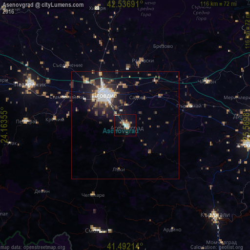
Analysis of Asenovgrad night lights 2016
Square area 10x10 km:
 1.27%
1.27%90-99
2.86%80-89
1.75%70-79
2.54%60-69
3.97%50-59
1.43%40-49
1.11%30-39
2.86%20-29
1.11%10-19
19.84%0-9
61.27%Square area 50x50 km:
1.19%90-99
1.24%80-89
0.61%70-79
0.82%60-69
0.92%50-59
1.06%40-49
1.23%30-39
1.56%20-29
2.58%10-19
5.36%0-9
83.44%Clear (daylight) street map image can be seen on geolist.org.
Map coordinates:
42° 32' 12.9" North, 24° 9' 48.8" East
42° 1' 0" North, 24° 52' 0" East
41° 29' 31.7" North, 25° 34' 11.3" East
Some cities around Asenovgrad sort by population:
• Plovdiv
17.7 km =11 mi,  326°
326°
• Parvomay
30.3 km =18.8 mi,  72°
72°
• Rakovski
29.3 km =18.2 mi,  12°
12°
• Stamboliyski
30.4 km =18.9 mi,  295°
295°
• Krichim
33.2 km =20.6 mi,  276°
276°
• Saedinenie
38.1 km =23.7 mi,  316°
316°
• Chepelare
35 km =21.7 mi,  205°
205°
• Perushtitsa
26.4 km =16.4 mi, 278°
733618 (p: 52,170)
Sources (retrieved 2019-11-25):
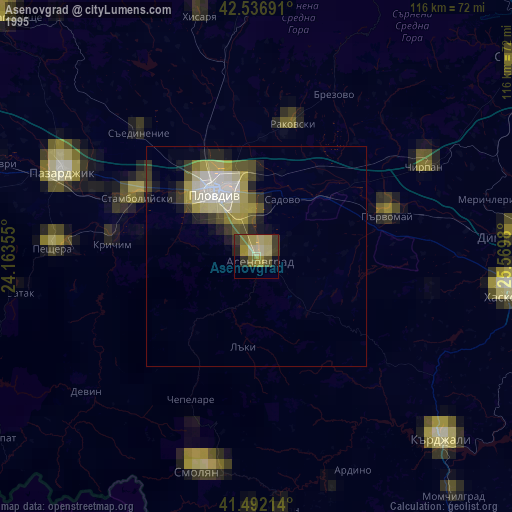
» NASA, Earths city lights 1995
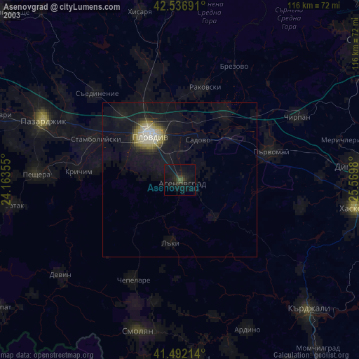
» NASA city lights 2003
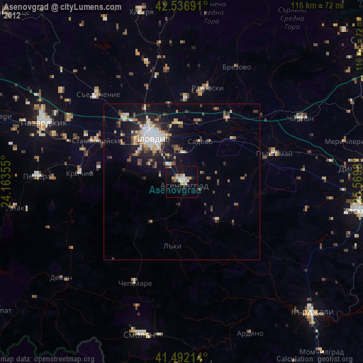
» Earth at Night: Flat Maps 2012, 2016