Petrich night lights from space
Night Light of Petrich (Blagoevgrad) from space (Bulgaria) Src. Average luminocity for 10x10km area is 11.619% and for 50x50km: 3.0292%.
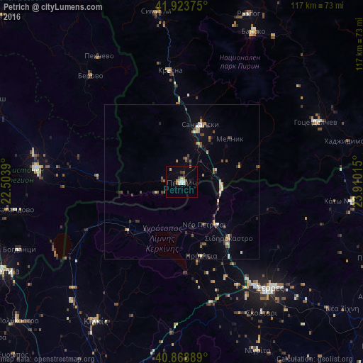
Analysis of Petrich night lights 2016
Square area 10x10 km:
 1.53%
1.53%90-99
1.36%80-89
2.21%70-79
1.7%60-69
0.51%50-59
1.36%40-49
1.19%30-39
1.53%20-29
1.19%10-19
1.36%0-9
86.05%Square area 50x50 km:
0.16%90-99
0.46%80-89
0.29%70-79
0.44%60-69
0.25%50-59
0.6%40-49
0.53%30-39
0.6%20-29
0.45%10-19
0.6%0-9
95.63%Clear (daylight) street map image can be seen on geolist.org.
Map coordinates:
41° 55' 25.5" North, 22° 30' 14" East
41° 23' 54.5" North, 23° 12' 25.3" East
40° 52' 8" North, 23° 54' 36.5" East
Some cities around Petrich sort by population:
• Sérres, GR
45 km =28 mi,  140°
140°
• Strumica, MK
47.2 km =29.3 mi,  275°
275°
• Sandanski
19.8 km =12.3 mi,  18°
18°
• Berovo, MK
44.6 km =27.7 mi,  319°
319°
• Bosilovo, MK
40.2 km =25 mi, 276°
• Novo Selo, MK
27.2 km =16.9 mi,  273°
273°
• Sidirókastro, GR
23.7 km =14.7 mi, 140°
• Star Dojran, MK
47 km =29.2 mi,  239°
239°
728288 (p: 30,308)
Sources (retrieved 2019-11-25):
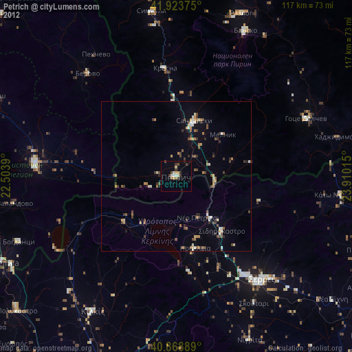
» Earth at Night: Flat Maps 2012, 2016