Asse night lights from space
Night Light of Asse (Flanders) from space (Belgium) Src. Average luminocity for 10x10km area is 51.9202% and for 50x50km: 55.8081%.
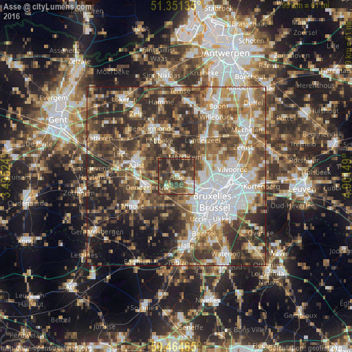
Analysis of Asse night lights 2016
Square area 10x10 km:
100  3.78%
3.78%
90-99 7.28%
80-89 5.18%
70-79 6.86%
60-69 7.14%
50-59 10.78%
40-49 23.11%
30-39 18.07%
20-29 17.79%
10-19 0%
0-9 0%
3.78%90-99
7.28%80-89
5.18%70-79
6.86%60-69
7.14%50-59
10.78%40-49
23.11%30-39
18.07%20-29
17.79%10-19
0%0-9
0%Square area 50x50 km:
100 11.49%
90-99 9.76%
80-89 5.45%
70-79 6.78%
60-69 8.99%
50-59 10.57%
40-49 11.53%
30-39 11.41%
20-29 13.77%
10-19 7.79%
0-9 2.45%
11.49%90-99
9.76%80-89
5.45%70-79
6.78%60-69
8.99%50-59
10.57%40-49
11.53%30-39
11.41%20-29
13.77%10-19
7.79%0-9
2.45%Clear (daylight) street map image can be seen on geolist.org.
Map coordinates:
51° 21' 4.9" North, 3° 29' 42.9" East
50° 54' 36.4" North, 4° 11' 54.1" East
50° 27' 52.7" North, 4° 54' 5.4" East
Some cities around Asse sort by population:
• Dilbeek
8.1 km =5 mi,  148°
148°
• Meise
9.6 km =6 mi,  70°
70°
• Denderleeuw
9 km =5.6 mi,  252°
252°
• Merchtem
5.1 km =3.2 mi,  27°
27°
• Ternat
5.3 km =3.3 mi,  204°
204°
• Wemmel
7.6 km =4.7 mi,  91°
91°
• Opwijk
6.4 km =4 mi,  351°
351°
• Liedekerke
9 km =5.6 mi,  239°
239°
2803033 (p: 28,985)
Sources (retrieved 2019-11-25):
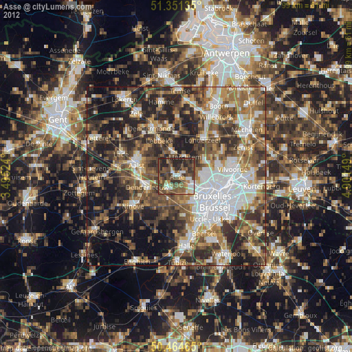
» Earth at Night: Flat Maps 2012, 2016