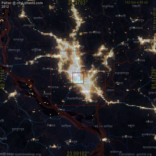
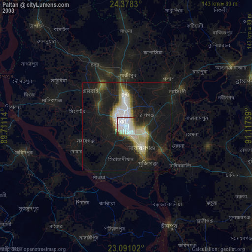
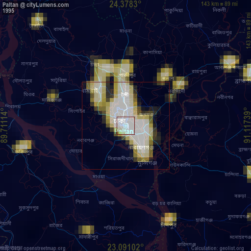
Paltan night lights from space
Night Light of Paltan (Dhaka) from space (Bangladesh) Src. Average luminocity for 10x10km area is 96.7143% and for 50x50km: 48.3352%.

Analysis of Paltan night lights 2016
Square area 10x10 km:
 62.9%
62.9%90-99
26.59%80-89
6.35%70-79
1.59%60-69
1.59%50-59
0.99%40-49
0%30-39
0%20-29
0%10-19
0%0-9
0%Square area 50x50 km:
9.88%90-99
14.64%80-89
5.08%70-79
5.42%60-69
6.21%50-59
6.28%40-49
6.44%30-39
5.85%20-29
8.65%10-19
8.98%0-9
22.58%Clear (daylight) street map image can be seen on geolist.org.
Map coordinates:
24° 22' 41.9" North, 89° 42' 40.1" East
23° 44' 10.5" North, 90° 24' 51.3" East
23° 5' 27.7" North, 91° 7' 2.6" East
Some cities around Paltan sort by population:
• Dhaka
3 km =1.9 mi,  193°
193°
• Tungi
17.3 km =10.7 mi,  355°
355°
• Nārāyanganj
16.4 km =10.2 mi,  146°
146°
• Sonārgaon
22.7 km =14.1 mi,  114°
114°
• Azimpur
3 km =1.9 mi,  256°
256°
• Joymontop
26 km =16.2 mi,  282°
282°
• Parvez Ali
31.3 km =19.4 mi,  286°
286°
• Parvez Ali Hossain
26 km =16.2 mi, 282°
9827976 (p: 184,492)
Sources (retrieved 2019-11-25):
» NASA, Earths city lights 1995
» NASA city lights 2003
» Earth at Night: Flat Maps 2012, 2016