Azimpur night lights from space
Night Light of Azimpur (Dhaka) from space (Bangladesh) Src. Average luminocity for 10x10km area is 91.0417% and for 50x50km: 45.8615%.
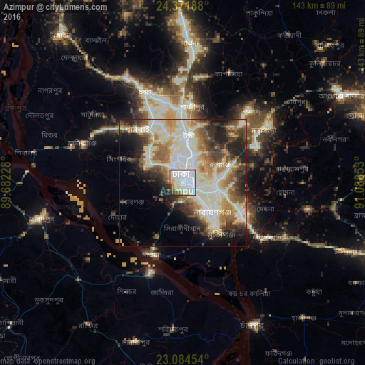
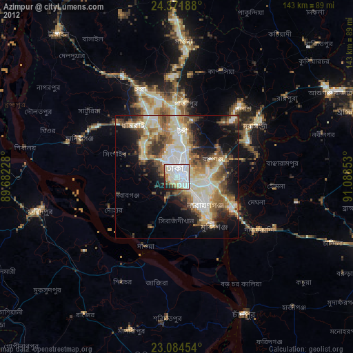
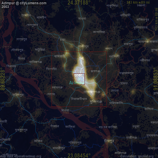
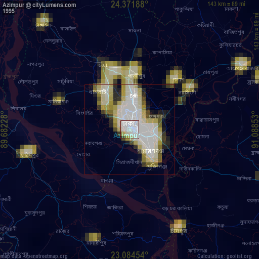
Analysis of Azimpur night lights 2016
Square area 10x10 km:
 55.16%
90-99
23.21%80-89
5.75%70-79
3.17%60-69
3.17%50-59
3.77%40-49
3.17%30-39
1.79%20-29
0.79%10-19
0%0-9
0%Square area 50x50 km:
9.68%90-99
14.18%80-89
4.75%70-79
5.1%60-69
5.96%50-59
5.43%40-49
5.83%30-39
5.32%20-29
8.02%10-19
8.01%0-9
27.73%Clear (daylight) street map image can be seen on geolist.org.
Map coordinates:
24° 22' 18.8" North, 89° 40' 56.2" East
23° 43' 47.3" North, 90° 23' 7.4" East
23° 5' 4.3" North, 91° 5' 18.7" East
Some cities around Azimpur sort by population:
• Dhaka
3.1 km =1.9 mi,  133°
133°
• Tungi
18.1 km =11.2 mi,  5°
5°
• Nārāyanganj
17.6 km =10.9 mi,  137°
137°
• Paltan
3 km =1.9 mi,  76°
76°
• Sonārgaon
25.2 km =15.7 mi,  110°
110°
• Joymontop
23.4 km =14.5 mi,  286°
286°
• Parvez Ali
28.8 km =17.9 mi, 289°
• Parvez Ali Hossain
23.3 km =14.5 mi, 285°
7701354 (p: 96,641)
Sources (retrieved 2019-11-25):
» NASA, Earths city lights 1995
» NASA city lights 2003
» Earth at Night: Flat Maps 2012, 2016