Nabīnagar night lights from space
Night Light of Nabīnagar (Chittagong) from space (Bangladesh) Src. Average luminocity for 10x10km area is 1.1548% and for 50x50km: 12.0003%.
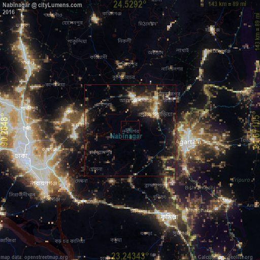
Analysis of Nabīnagar night lights 2016
Square area 10x10 km:
 0%
0%90-99
0%80-89
0%70-79
0%60-69
0%50-59
0%40-49
0%30-39
0%20-29
1.98%10-19
3.17%0-9
94.84%Square area 50x50 km:
0.44%90-99
1.19%80-89
0.81%70-79
0.95%60-69
1.07%50-59
1.94%40-49
3.3%30-39
3.94%20-29
6.5%10-19
11.85%0-9
68.03%Clear (daylight) street map image can be seen on geolist.org.
Map coordinates:
24° 31' 45.1" North, 90° 15' 53.3" East
23° 53' 16.5" North, 90° 58' 4.5" East
23° 14' 36.3" North, 91° 40' 15.8" East
Some cities around Nabīnagar sort by population:
• Comilla
52.3 km =32.5 mi,  154°
154°
• Narsingdi
25.7 km =16 mi,  278°
278°
• Agartala, IN
32.2 km =20 mi,  100°
100°
• Sonārgaon
44.5 km =27.7 mi,  233°
233°
• Bhairab Bāzār
18.3 km =11.4 mi,  2°
2°
• Bājitpur
36.6 km =22.7 mi,  357°
357°
• Barjala, IN
49.6 km =30.8 mi,  127°
127°
• Rānīr Bāzār, IN
40.9 km =25.4 mi, 98°
1193823 (p: 31,671)
Sources (retrieved 2019-11-25):
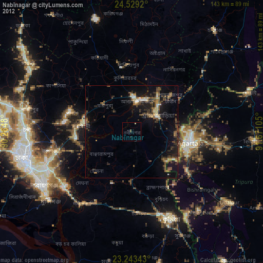
» Earth at Night: Flat Maps 2012, 2016