Trebinje night lights from space
Night Light of Trebinje (Srpska) from space (Bosnia and Herzegovina) Src. Average luminocity for 10x10km area is 13.3667% and for 50x50km: 3.27%.
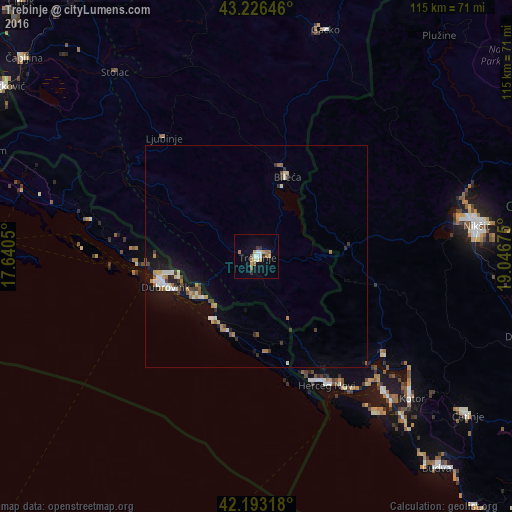
Analysis of Trebinje night lights 2016
Square area 10x10 km:
 2.42%
2.42%90-99
1.21%80-89
1.52%70-79
1.67%60-69
3.33%50-59
1.36%40-49
0.61%30-39
1.52%20-29
0.91%10-19
1.97%0-9
83.48%Square area 50x50 km:
0.39%90-99
0.53%80-89
0.23%70-79
0.35%60-69
0.54%50-59
0.39%40-49
0.34%30-39
0.4%20-29
0.36%10-19
2.67%0-9
93.8%Clear (daylight) street map image can be seen on geolist.org.
Map coordinates:
43° 13' 35.3" North, 17° 38' 25.8" East
42° 42' 43.1" North, 18° 20' 37" East
42° 11' 35.4" North, 19° 2' 48.3" East
Some cities around Trebinje sort by population:
• Nikšić, ME
49.5 km =30.8 mi,  82°
82°
• Dubrovnik, HR
20.7 km =12.9 mi,  247°
247°
• Herceg-Novi, ME
32.9 km =20.4 mi,  151°
151°
• Bileća
19.6 km =12.2 mi,  21°
21°
• Stolac
51.8 km =32.2 mi,  322°
322°
• Tivat, ME
42 km =26.1 mi,  136°
136°
• Dobrota, ME
45.1 km =28 mi,  129°
129°
• Kotor, ME
47.5 km =29.5 mi, 132°
3188893 (p: 33,178)
Sources (retrieved 2019-11-25):
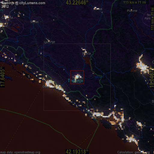
» Earth at Night: Flat Maps 2012, 2016