Doboj night lights from space
Night Light of Doboj (Srpska) from space (Bosnia and Herzegovina) Src. Average luminocity for 10x10km area is 13.5955% and for 50x50km: 2.0321%.
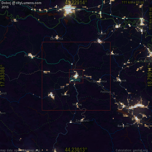
Analysis of Doboj night lights 2016
Square area 10x10 km:
 1.97%
1.97%90-99
2.12%80-89
0.91%70-79
0.91%60-69
1.52%50-59
2.42%40-49
2.73%30-39
1.82%20-29
1.82%10-19
2.12%0-9
81.67%Square area 50x50 km:
0.17%90-99
0.29%80-89
0.15%70-79
0.18%60-69
0.3%50-59
0.44%40-49
0.49%30-39
0.3%20-29
0.27%10-19
0.3%0-9
97.1%Clear (daylight) street map image can be seen on geolist.org.
Map coordinates:
45° 13' 44.9" North, 17° 23' 1.9" East
44° 43' 54.4" North, 18° 5' 13.1" East
44° 13' 48.5" North, 18° 47' 24.4" East
Some cities around Doboj sort by population:
• Gračanica
17.9 km =11.1 mi,  100°
100°
• Derventa
30.8 km =19.1 mi,  332°
332°
• Tešanj
15.6 km =9.7 mi,  211°
211°
• Maglaj
20.5 km =12.7 mi,  177°
177°
• Teslić
22.7 km =14.1 mi,  232°
232°
• Tešanjka
8.9 km =5.5 mi,  222°
222°
• Orahovica Donja
24 km =14.9 mi,  111°
111°
• Jelah
13.3 km =8.3 mi, 229°
3201984 (p: 27,235)
Sources (retrieved 2019-11-25):
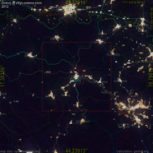
» Earth at Night: Flat Maps 2012, 2016