Yevlakh night lights from space
Night Light of Yevlakh (Yevlax City) from space (Azerbaijan) Src. Average luminocity for 10x10km area is 15.6331% and for 50x50km: 3.3888%.
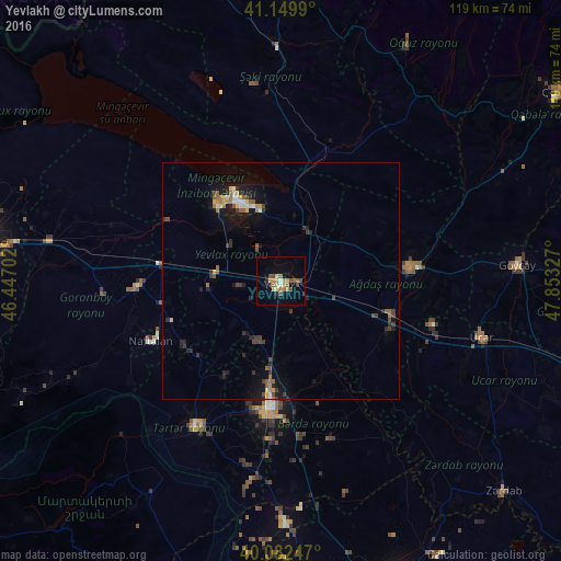
Analysis of Yevlakh night lights 2016
Square area 10x10 km:
 0.49%
0.49%90-99
0.97%80-89
1.95%70-79
3.9%60-69
3.25%50-59
2.44%40-49
4.06%30-39
0.49%20-29
2.27%10-19
2.92%0-9
77.27%Square area 50x50 km:
0.12%90-99
0.31%80-89
0.4%70-79
0.38%60-69
0.5%50-59
0.63%40-49
0.64%30-39
0.56%20-29
0.98%10-19
2.6%0-9
92.87%Clear (daylight) street map image can be seen on geolist.org.
Map coordinates:
41° 8' 59.6" North, 46° 26' 49.3" East
40° 37' 6" North, 47° 9' 0.5" East
40° 4' 56.9" North, 47° 51' 11.8" East
Some cities around Yevlakh sort by population:
• Mingelchaur
17.9 km =11.1 mi,  334°
334°
• Barda
27 km =16.8 mi,  184°
184°
• Ağdaş
27.5 km =17.1 mi,  83°
83°
• Terter
35.9 km =22.3 mi,  211°
211°
• Goranboy
30.4 km =18.9 mi,  268°
268°
• Naftalan
30.4 km =18.9 mi,  246°
246°
• Aran
14.8 km =9.2 mi, 273°
• Qızılhacılı
25.1 km =15.6 mi,  259°
259°
584649 (p: 127,400)
Sources (retrieved 2019-11-25):
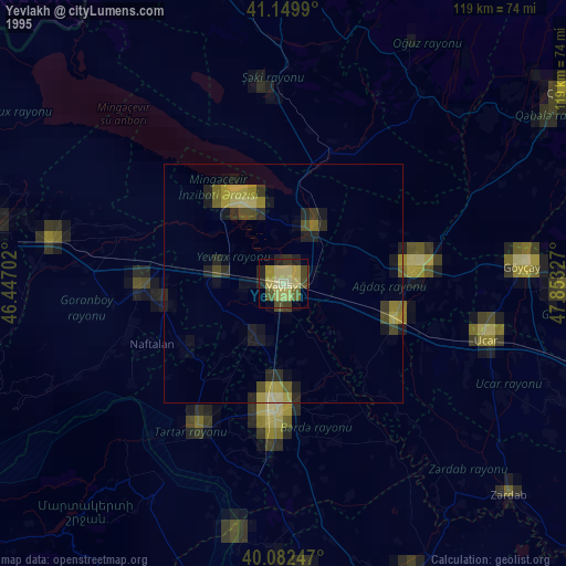
» NASA, Earths city lights 1995
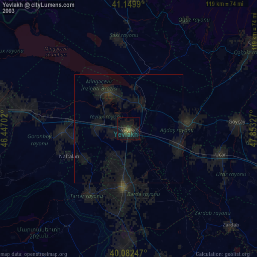
» NASA city lights 2003
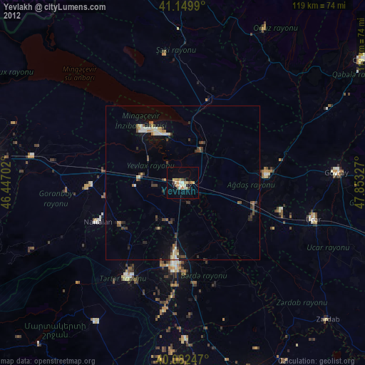
» Earth at Night: Flat Maps 2012, 2016