Aghstafa night lights from space
Night Light of Aghstafa (Ağstafa) from space (Azerbaijan) Src. Average luminocity for 10x10km area is 9.7776% and for 50x50km: 1.5003%.
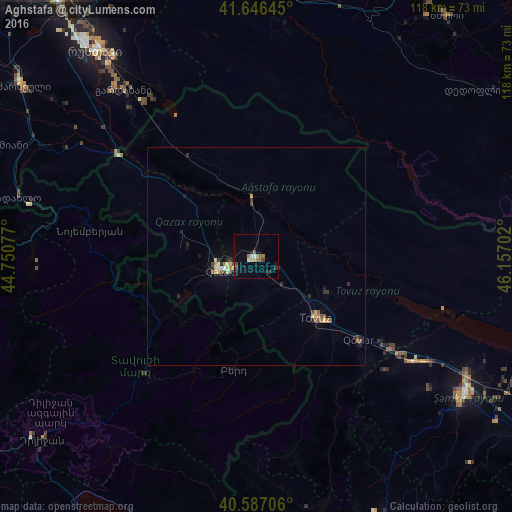
Analysis of Aghstafa night lights 2016
Square area 10x10 km:
 0%
0%90-99
1.95%80-89
0.65%70-79
1.14%60-69
1.62%50-59
1.79%40-49
1.62%30-39
1.46%20-29
0.81%10-19
2.92%0-9
86.04%Square area 50x50 km:
0.03%90-99
0.14%80-89
0.24%70-79
0.21%60-69
0.21%50-59
0.28%40-49
0.23%30-39
0.24%20-29
0.4%10-19
0.48%0-9
97.54%Clear (daylight) street map image can be seen on geolist.org.
Map coordinates:
41° 38' 47.2" North, 44° 45' 2.8" East
41° 7' 8" North, 45° 27' 14" East
40° 35' 13.4" North, 46° 9' 25.3" East
Some cities around Aghstafa sort by population:
• Shamkhor
57.2 km =35.5 mi,  124°
124°
• Qazax
8 km =5 mi,  248°
248°
• Ijevan, AM
37 km =23 mi,  223°
223°
• Tovuz
20.3 km =12.6 mi,  133°
133°
• Gardabani, GE
48.5 km =30.1 mi,  321°
321°
• Berd, AM
27 km =16.8 mi,  191°
191°
• Dzagam
43.4 km =27 mi, 123°
• Noyemberyan, AM
38.5 km =23.9 mi,  278°
278°
587362 (p: 12,542)
Sources (retrieved 2019-11-25):
» Earth at Night: Flat Maps 2012, 2016