Qazax night lights from space
Night Light of Qazax from space (Azerbaijan) Src. Average luminocity for 10x10km area is 16.2192% and for 50x50km: 1.4326%.
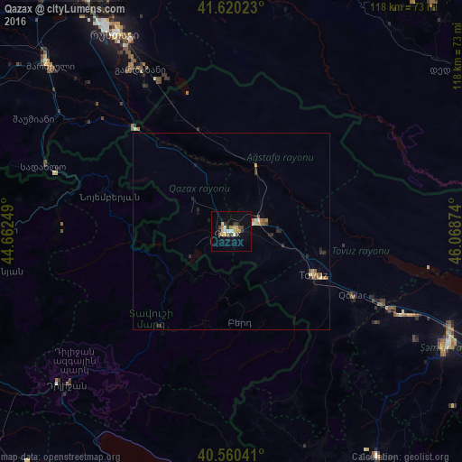
Analysis of Qazax night lights 2016
Square area 10x10 km:
 0.81%
0.81%90-99
1.62%80-89
3.08%70-79
3.25%60-69
1.79%50-59
1.14%40-49
2.76%30-39
2.44%20-29
1.95%10-19
6.49%0-9
74.68%Square area 50x50 km:
0.03%90-99
0.14%80-89
0.24%70-79
0.21%60-69
0.21%50-59
0.23%40-49
0.21%30-39
0.21%20-29
0.37%10-19
0.43%0-9
97.71%Clear (daylight) street map image can be seen on geolist.org.
Map coordinates:
41° 37' 12.8" North, 44° 39' 45" East
41° 5' 32.9" North, 45° 21' 56.2" East
40° 33' 37.5" North, 46° 4' 7.5" East
Some cities around Qazax sort by population:
• Ijevan, AM
29.9 km =18.6 mi,  217°
217°
• Tovuz
24.7 km =15.3 mi,  116°
116°
• Aghstafa
8 km =5 mi,  68°
68°
• Gardabani, GE
46.8 km =29.1 mi,  330°
330°
• Berd, AM
23.6 km =14.7 mi,  175°
175°
• Dzagam
48.4 km =30.1 mi, 115°
• Chambarak, AM
55.1 km =34.2 mi, 180°
• Noyemberyan, AM
32 km =19.9 mi,  286°
286°
585226 (p: 18,903)
Sources (retrieved 2019-11-25):
» Earth at Night: Flat Maps 2012, 2016