Ağdam night lights from space
Night Light of Ağdam from space (Azerbaijan) Src. Average luminocity for 10x10km area is 0% and for 50x50km: 2.2735%.
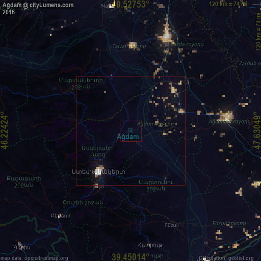
Analysis of Ağdam night lights 2016
Square area 10x10 km:
 0%
0%90-99
0%80-89
0%70-79
0%60-69
0%50-59
0%40-49
0%30-39
0%20-29
0%10-19
0%0-9
100%Square area 50x50 km:
0.13%90-99
0.19%80-89
0.28%70-79
0.2%60-69
0.36%50-59
0.32%40-49
0.49%30-39
0.54%20-29
0.65%10-19
0.57%0-9
96.27%Clear (daylight) street map image can be seen on geolist.org.
Map coordinates:
40° 31' 39.1" North, 46° 13' 27.3" East
39° 59' 27.5" North, 46° 55' 38.5" East
39° 27' 0.5" North, 47° 37' 49.8" East
Some cities around Ağdam sort by population:
• Xankandi
24.3 km =15.1 mi,  217°
217°
• Agdzhabedy
45.8 km =28.5 mi,  81°
81°
• Shushi
29.8 km =18.5 mi,  210°
210°
• Terter
39 km =24.2 mi,  0°
0°
• Martakert
26.1 km =16.2 mi,  339°
339°
• Xocalı
14.6 km =9.1 mi,  233°
233°
• Avşar
42.3 km =26.3 mi,  92°
92°
• Novyy Karanlug
26.9 km =16.7 mi,  144°
144°
148619 (p: 39,451)
Sources (retrieved 2019-11-25):
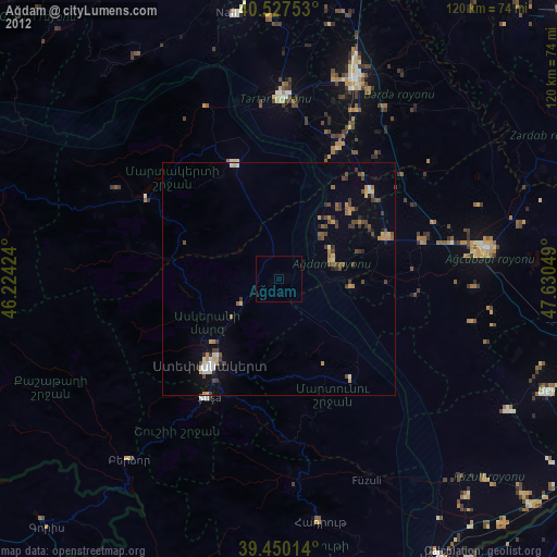
» Earth at Night: Flat Maps 2012, 2016