Xankandi night lights from space
Night Light of Xankandi (Xankǝndi) from space (Azerbaijan) Src. Average luminocity for 10x10km area is 17.4286% and for 50x50km: 0.8383%.
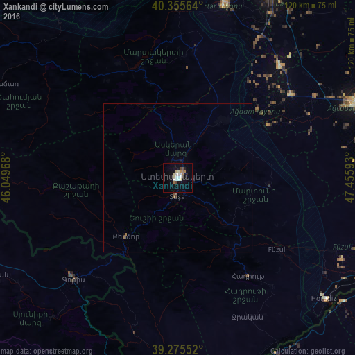
Analysis of Xankandi night lights 2016
Square area 10x10 km:
 3.4%
3.4%90-99
3.57%80-89
2.55%70-79
0.34%60-69
3.06%50-59
0%40-49
2.04%30-39
0%20-29
2.21%10-19
10.54%0-9
72.28%Square area 50x50 km:
0.13%90-99
0.14%80-89
0.1%70-79
0.01%60-69
0.2%50-59
0.05%40-49
0.11%30-39
0%20-29
0.09%10-19
0.47%0-9
98.69%Clear (daylight) street map image can be seen on geolist.org.
Map coordinates:
40° 21' 20.3" North, 46° 2' 58.8" East
39° 49' 3.7" North, 46° 45' 10.1" East
39° 16' 31.9" North, 47° 27' 21.3" East
Some cities around Xankandi sort by population:
• Ağdam
24.3 km =15.1 mi,  37°
37°
• Fizuli
41.3 km =25.7 mi,  125°
125°
• Goris, AM
49 km =30.4 mi,  225°
225°
• Shushi
6.4 km =4 mi,  182°
182°
• Martakert
44.1 km =27.4 mi,  7°
7°
• Xocalı
11.1 km =6.9 mi,  16°
16°
• Novyy Karanlug
30.8 km =19.1 mi,  94°
94°
• Laçın
29.9 km =18.6 mi,  215°
215°
146970 (p: 53,100)
Sources (retrieved 2019-11-25):
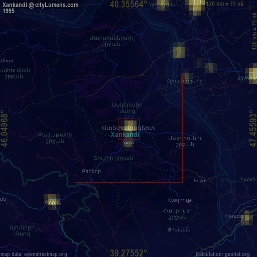
» NASA, Earths city lights 1995
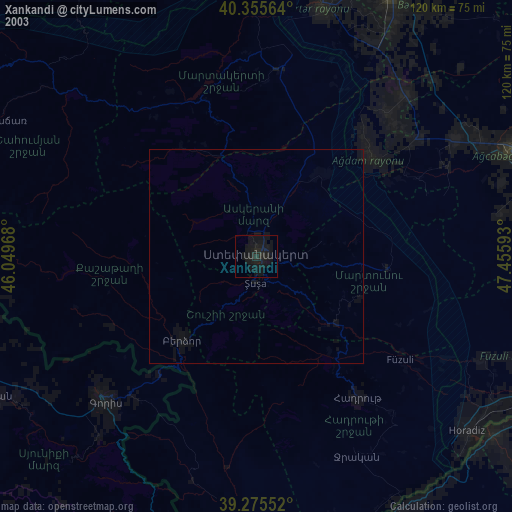
» NASA city lights 2003
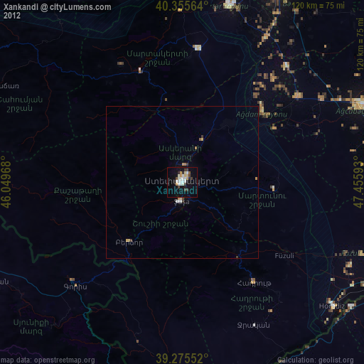
» Earth at Night: Flat Maps 2012, 2016