Yamba night lights from space
Night Light of Yamba (New South Wales) from space (Australia) Src. Average luminocity for 10x10km area is 3.2898% and for 50x50km: 0.1882%.
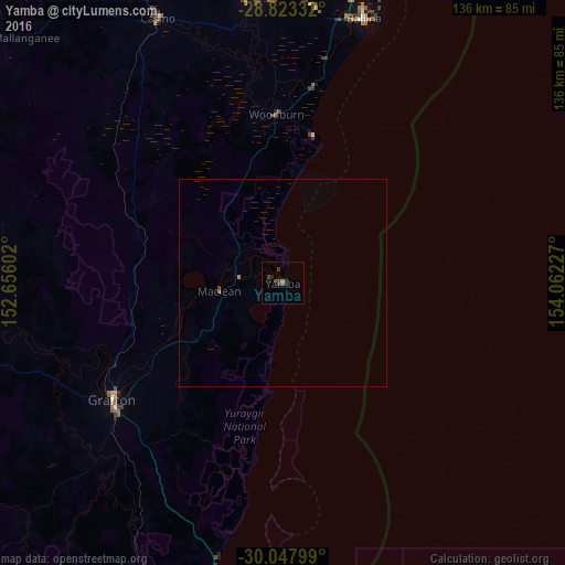
Analysis of Yamba night lights 2016
Square area 10x10 km:
 0%
0%90-99
0%80-89
0%70-79
0%60-69
0.76%50-59
0%40-49
2.27%30-39
2.27%20-29
1.7%10-19
1.33%0-9
91.67%Square area 50x50 km:
0%90-99
0%80-89
0%70-79
0.04%60-69
0.05%50-59
0%40-49
0.09%30-39
0.12%20-29
0.07%10-19
0.05%0-9
99.58%Clear (daylight) street map image can be seen on geolist.org.
Map coordinates:
28° 49' 24" South, 152° 39' 21.7" East
29° 26' 15" South, 153° 21' 32.9" East
30° 2' 52.8" South, 154° 3' 44.2" East
Some cities around Yamba sort by population:
• Goonellabah
69.2 km =43 mi,  356°
356°
• Casino
71.2 km =44.2 mi,  334°
334°
• Grafton
49.2 km =30.6 mi,  236°
236°
• Ballina
66.8 km =41.5 mi,  17°
17°
• South Grafton
51.5 km =32 mi,  234°
234°
• Alstonville
66.7 km =41.4 mi,  6°
6°
• East Ballina
68.2 km =42.4 mi, 18°
• East Lismore
68.3 km =42.4 mi,  354°
354°
2142648 (p: 6,913)
Sources (retrieved 2019-11-25):
» Earth at Night: Flat Maps 2012, 2016