Alstonville night lights from space
Night Light of Alstonville (New South Wales) from space (Australia) Src. Average luminocity for 10x10km area is 3.6117% and for 50x50km: 2.2617%.
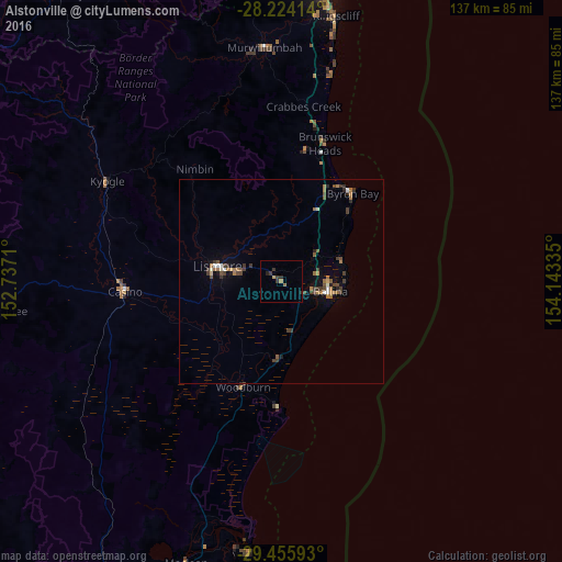
Analysis of Alstonville night lights 2016
Square area 10x10 km:
 0%
0%90-99
0%80-89
0%70-79
0.95%60-69
0.57%50-59
0.76%40-49
0%30-39
2.84%20-29
2.08%10-19
0%0-9
92.8%Square area 50x50 km:
0.16%90-99
0.14%80-89
0.11%70-79
0.14%60-69
0.78%50-59
0.23%40-49
0.52%30-39
0.84%20-29
0.36%10-19
0.37%0-9
96.35%Clear (daylight) street map image can be seen on geolist.org.
Map coordinates:
28° 13' 26.9" South, 152° 44' 13.6" East
28° 50' 30.7" South, 153° 26' 24.8" East
29° 27' 21.3" South, 154° 8' 36.1" East
Some cities around Alstonville sort by population:
• Goonellabah
12.4 km =7.7 mi,  283°
283°
• Casino
38.3 km =23.8 mi,  267°
267°
• Ballina
12.4 km =7.7 mi,  101°
101°
• Byron Bay
27.2 km =16.9 mi,  38°
38°
• Lennox Head
15.8 km =9.8 mi,  69°
69°
• East Ballina
14.4 km =8.9 mi, 96°
• Ocean Shores
38.2 km =23.7 mi,  14°
14°
• East Lismore
14.9 km =9.3 mi, 276°
2177999 (p: 5,662)
Sources (retrieved 2019-11-25):
» Earth at Night: Flat Maps 2012, 2016