Ballina night lights from space
Night Light of Ballina (New South Wales) from space (Australia) Src. Average luminocity for 10x10km area is 18.2879% and for 50x50km: 1.7135%.
Analysis of Ballina night lights 2016
Square area 10x10 km:
 1.89%
1.89%90-99
1.14%80-89
0.57%70-79
1.89%60-69
7.39%50-59
1.14%40-49
3.98%30-39
5.87%20-29
1.14%10-19
4.73%0-9
70.27%Square area 50x50 km:
0.09%90-99
0.06%80-89
0.05%70-79
0.14%60-69
0.64%50-59
0.23%40-49
0.39%30-39
0.68%20-29
0.31%10-19
0.24%0-9
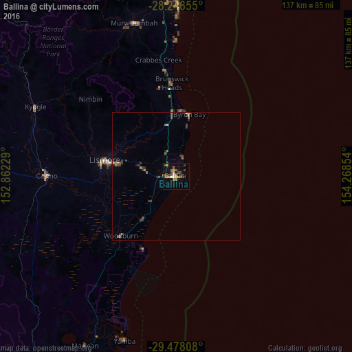
97.17%Clear (daylight) street map image can be seen on geolist.org.
Map coordinates:
28° 14' 47.6" South, 152° 51' 44.2" East
28° 51' 50.9" South, 153° 33' 55.5" East
29° 28' 41.1" South, 154° 16' 6.7" East
Some cities around Ballina sort by population:
• Goonellabah
24.8 km =15.4 mi,  282°
282°
• Casino
50.4 km =31.3 mi,  270°
270°
• Byron Bay
24.3 km =15.1 mi,  10°
10°
• Lennox Head
8.5 km =5.3 mi,  17°
17°
• Alstonville
12.4 km =7.7 mi, 281°
• East Ballina
2.3 km =1.4 mi,  69°
69°
• Ocean Shores
39.5 km =24.5 mi,  356°
356°
• East Lismore
27.3 km =17 mi, 278°
2177069 (p: 8,911)
Sources (retrieved 2019-11-25):
» Earth at Night: Flat Maps 2012, 2016