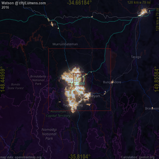
Watson night lights from space
Night Light of Watson (ACT) from space (Australia) Src. Average luminocity for 10x10km area is 59.6084% and for 50x50km: 15.7179%.
Analysis of Watson night lights 2016
Square area 10x10 km:
100  8.39%
8.39%
90-99 12.94%
80-89 6.12%
70-79 10.14%
60-69 17.48%
50-59 7.87%
40-49 4.55%
30-39 10.31%
20-29 14.16%
10-19 7.69%
0-9 0.35%
8.39%90-99
12.94%80-89
6.12%70-79
10.14%60-69
17.48%50-59
7.87%40-49
4.55%30-39
10.31%20-29
14.16%10-19
7.69%0-9
0.35%Square area 50x50 km:
100 2.46%
90-99 3.06%
80-89 1.54%
70-79 2.4%
60-69 3.81%
50-59 1.84%
40-49 1.38%
30-39 2.62%
20-29 3.37%
10-19 6.61%
0-9 70.92%
2.46%90-99
3.06%80-89
1.54%70-79
2.4%60-69
3.81%50-59
1.84%40-49
1.38%30-39
2.62%20-29
3.37%10-19
6.61%0-9
70.92%Clear (daylight) street map image can be seen on geolist.org.
Map coordinates:
34° 39' 42.6" South, 148° 26' 58.5" East
35° 14' 17.3" South, 149° 9' 9.8" East
35° 48' 37.4" South, 149° 51' 21" East
Some cities around Watson sort by population:
• Harrison
4.4 km =2.7 mi,  4°
4°
• Kaleen
4.9 km =3 mi,  297°
297°
• Franklin
4.4 km =2.7 mi,  348°
348°
• Braddon
3.9 km =2.4 mi,  203°
203°
• O'Connor
4.2 km =2.6 mi,  240°
240°
• City
5.2 km =3.2 mi, 203°
• Lyneham
2 km =1.2 mi,  264°
264°
• Ainslie
2.8 km =1.7 mi, 196°
8348373 (p: 5,849)
Sources (retrieved 2019-11-25):
» Earth at Night: Flat Maps 2012, 2016