Warilla night lights from space
Night Light of Warilla (New South Wales) from space (Australia) Src. Average luminocity for 10x10km area is 35.8706% and for 50x50km: 7.607%.
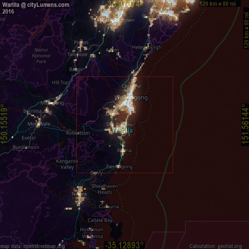
Analysis of Warilla night lights 2016
Square area 10x10 km:
 2.27%
2.27%90-99
3.32%80-89
3.5%70-79
4.37%60-69
11.54%50-59
6.29%40-49
2.97%30-39
3.5%20-29
30.24%10-19
22.03%0-9
9.97%Square area 50x50 km:
0.81%90-99
1.1%80-89
0.39%70-79
0.77%60-69
1.94%50-59
1.35%40-49
0.88%30-39
1.3%20-29
2.93%10-19
5.74%0-9
82.79%Clear (daylight) street map image can be seen on geolist.org.
Map coordinates:
33° 58' 14.7" South, 150° 9' 18.7" East
34° 33' 6.7" South, 150° 51' 29.9" East
35° 7' 44.1" South, 151° 33' 41.2" East
Some cities around Warilla sort by population:
• Albion Park
7.9 km =4.9 mi,  254°
254°
• Dapto
7.9 km =4.9 mi,  312°
312°
• Berkeley
7.7 km =4.8 mi,  354°
354°
• Albion Park Rail
6.3 km =3.9 mi,  255°
255°
• Flinders
3.5 km =2.2 mi,  184°
184°
• Oak Flats
3.5 km =2.2 mi, 250°
• Barrack Heights
1.4 km =0.9 mi,  185°
185°
• Shell Cove
4.2 km =2.6 mi, 175°
8347938 (p: 6,377)
Sources (retrieved 2019-11-25):
» Earth at Night: Flat Maps 2012, 2016