Berkeley night lights from space
Night Light of Berkeley (New South Wales) from space (Australia) Src. Average luminocity for 10x10km area is 56.9108% and for 50x50km: 7.8945%.
Analysis of Berkeley night lights 2016
Square area 10x10 km:
 11.19%
90-99
11.54%80-89
2.1%70-79
6.64%60-69
17.83%50-59
8.57%40-49
5.07%30-39
6.29%20-29
24.13%10-19
6.64%0-9
0%Square area 50x50 km:
0.81%90-99
1.1%80-89
0.39%70-79
0.8%60-69
2.01%50-59
1.42%40-49
0.95%30-39
1.47%20-29
2.9%10-19
5.89%0-9
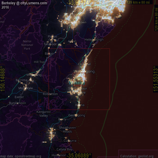
82.26%Clear (daylight) street map image can be seen on geolist.org.
Map coordinates:
33° 54' 6.3" South, 150° 8' 48.8" East
34° 28' 60" South, 150° 51' 0" East
35° 3' 39.2" South, 151° 33' 11.3" East
Some cities around Berkeley sort by population:
• Wollongong
7.7 km =4.8 mi,  31°
31°
• Wollongong city centre
7.3 km =4.5 mi, 32°
• Figtree
5.4 km =3.4 mi,  8°
8°
• Dapto
5.6 km =3.5 mi,  245°
245°
• Horsley
6.6 km =4.1 mi,  265°
265°
• Unanderra
3.4 km =2.1 mi,  356°
356°
• Kanahooka
3.9 km =2.4 mi,  256°
256°
• Port Kembla
4.7 km =2.9 mi,  87°
87°
2176090 (p: 7,559)
Sources (retrieved 2019-11-25):
» Earth at Night: Flat Maps 2012, 2016