Dapto night lights from space
Night Light of Dapto (New South Wales) from space (Australia) Src. Average luminocity for 10x10km area is 32.785% and for 50x50km: 7.8579%.
Analysis of Dapto night lights 2016
Square area 10x10 km:
 1.57%
1.57%90-99
0.87%80-89
1.05%70-79
3.32%60-69
14.51%50-59
7.17%40-49
4.02%30-39
5.59%20-29
26.05%10-19
20.98%0-9
14.86%Square area 50x50 km:
0.81%90-99
1.1%80-89
0.39%70-79
0.8%60-69
2.01%50-59
1.4%40-49
0.95%30-39
1.42%20-29
2.9%10-19
5.89%0-9
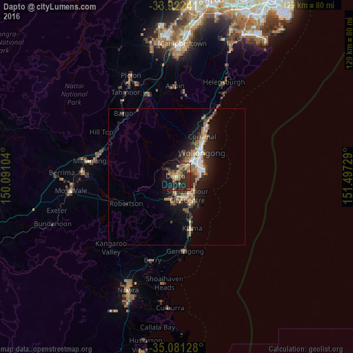
82.33%Clear (daylight) street map image can be seen on geolist.org.
Map coordinates:
33° 55' 20.7" South, 150° 5' 27.7" East
34° 30' 13.9" South, 150° 47' 39" East
35° 4' 52.6" South, 151° 29' 50.2" East
Some cities around Dapto sort by population:
• Albion Park
7.7 km =4.8 mi,  192°
192°
• Horsley
2.3 km =1.4 mi,  320°
320°
• Berkeley
5.6 km =3.5 mi,  65°
65°
• Albion Park Rail
7 km =4.3 mi,  181°
181°
• Oak Flats
7 km =4.3 mi,  158°
158°
• Warilla
7.9 km =4.9 mi,  132°
132°
• Unanderra
7.5 km =4.7 mi,  40°
40°
• Kanahooka
1.9 km =1.2 mi, 43°
2169423 (p: 10,568)
Sources (retrieved 2019-11-25):
» Earth at Night: Flat Maps 2012, 2016