Bendigo night lights from space
Night Light of Bendigo (Victoria) from space (Australia) Src. Average luminocity for 10x10km area is 49.701% and for 50x50km: 2.8732%.
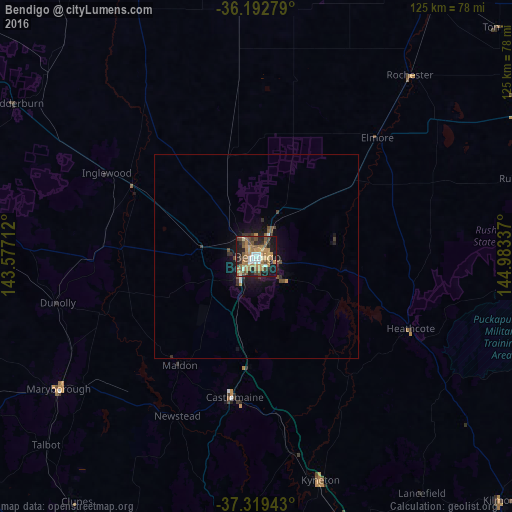
Analysis of Bendigo night lights 2016
Square area 10x10 km:
 5.42%
5.42%90-99
4.55%80-89
5.94%70-79
10.14%60-69
15.38%50-59
10.14%40-49
9.09%30-39
3.5%20-29
13.46%10-19
21.85%0-9
0.52%Square area 50x50 km:
0.23%90-99
0.21%80-89
0.23%70-79
0.47%60-69
0.61%50-59
0.54%40-49
0.63%30-39
0.31%20-29
0.78%10-19
2.45%0-9
93.53%Clear (daylight) street map image can be seen on geolist.org.
Map coordinates:
36° 11' 34" South, 143° 34' 37.6" East
36° 45' 29.4" South, 144° 16' 48.9" East
37° 19' 9.9" South, 144° 59' 0.1" East
Some cities around Bendigo sort by population:
• Kangaroo Flat
5.4 km =3.4 mi,  210°
210°
• Golden Square
2.9 km =1.8 mi,  236°
236°
• Kyneton
56.2 km =34.9 mi,  164°
164°
• Castlemaine
34.8 km =21.6 mi,  189°
189°
• Strathdale
3.2 km =2 mi,  104°
104°
• Kennington
2.5 km =1.6 mi,  125°
125°
• Eaglehawk
5.4 km =3.4 mi,  330°
330°
• Strathfieldsaye
8.6 km =5.3 mi, 129°
2176187 (p: 100,617)
Sources (retrieved 2019-11-25):
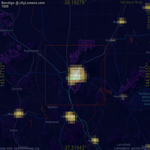
» NASA, Earths city lights 1995
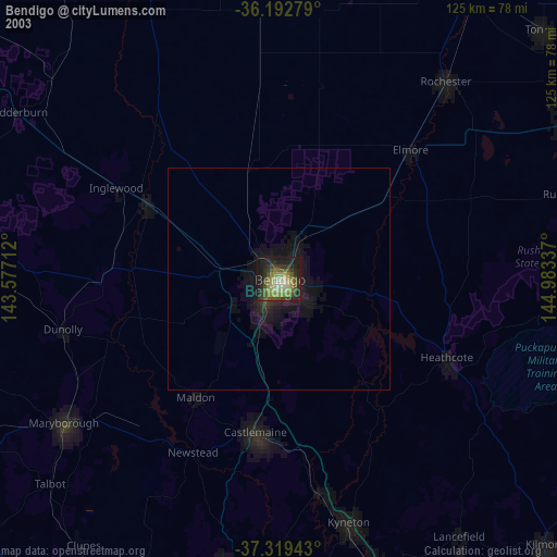
» NASA city lights 2003
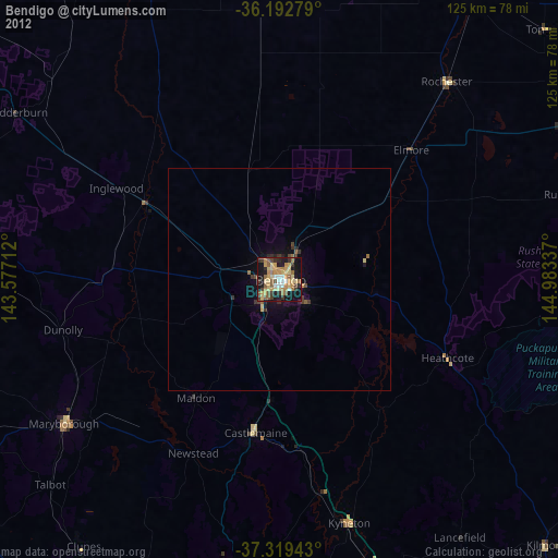
» Earth at Night: Flat Maps 2012, 2016