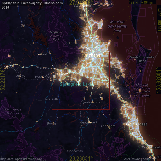
Springfield Lakes night lights from space
Night Light of Springfield Lakes (Queensland) from space (Australia) Src. Average luminocity for 10x10km area is 44.4365% and for 50x50km: 32.1435%.
Analysis of Springfield Lakes night lights 2016
Square area 10x10 km:
 5.95%
5.95%90-99
4.37%80-89
2.58%70-79
3.97%60-69
16.67%50-59
7.94%40-49
7.94%30-39
10.32%20-29
14.68%10-19
23.81%0-9
1.79%Square area 50x50 km:
5.96%90-99
6.6%80-89
3.64%70-79
4.89%60-69
8.86%50-59
3.03%40-49
3.37%30-39
3.49%20-29
5.41%10-19
7.74%0-9
47.03%Clear (daylight) street map image can be seen on geolist.org.
Map coordinates:
27° 2' 35.1" South, 152° 13' 18.3" East
27° 40' 3.3" South, 152° 55' 29.6" East
28° 17' 18.6" South, 153° 37' 40.8" East
Some cities around Springfield Lakes sort by population:
• Forest Lake
6.4 km =4 mi,  42°
42°
• Redbank Plains
6.9 km =4.3 mi,  290°
290°
• Inala
9.2 km =5.7 mi,  31°
31°
• Goodna
6.8 km =4.2 mi,  338°
338°
• Greenbank
7.9 km =4.9 mi,  133°
133°
• Camira
3.7 km =2.3 mi,  353°
353°
• Collingwood Park
8.8 km =5.5 mi,  313°
313°
• Bellbird Park
5.1 km =3.2 mi, 312°
6693094 (p: 15,081)
Sources (retrieved 2019-11-25):
» Earth at Night: Flat Maps 2012, 2016