Southbank night lights from space
Night Light of Southbank (Victoria) from space (Australia) Src. Average luminocity for 10x10km area is 94.6854% and for 50x50km: 55.2845%.
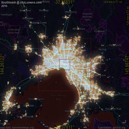
Analysis of Southbank night lights 2016
Square area 10x10 km:
 71.94%
90-99
17.01%80-89
1.36%70-79
1.19%60-69
0%50-59
3.57%40-49
3.57%30-39
1.36%20-29
0%10-19
0%0-9
0%Square area 50x50 km:
15.46%90-99
14.22%80-89
7.06%70-79
9.4%60-69
7.53%50-59
4.74%40-49
3.4%30-39
3.68%20-29
5.69%10-19
7.45%0-9
21.38%Clear (daylight) street map image can be seen on geolist.org.
Map coordinates:
37° 15' 55.1" South, 144° 15' 40.4" East
37° 49' 22.1" South, 144° 57' 51.6" East
38° 22' 34" South, 145° 40' 2.9" East
Some cities around Southbank sort by population:
• Melbourne
1 km =0.6 mi,  354°
354°
• Melbourne City Centre
0.9 km =0.6 mi,  12°
12°
• Carlton
2.5 km =1.6 mi,  4°
4°
• Port Melbourne
2.7 km =1.7 mi,  226°
226°
• Docklands
1.5 km =0.9 mi,  305°
305°
• East Melbourne
2.2 km =1.4 mi,  71°
71°
• Albert Park
2.3 km =1.4 mi,  208°
208°
• West Melbourne
1.9 km =1.2 mi,  318°
318°
7302683 (p: 22,397)
Sources (retrieved 2019-11-25):
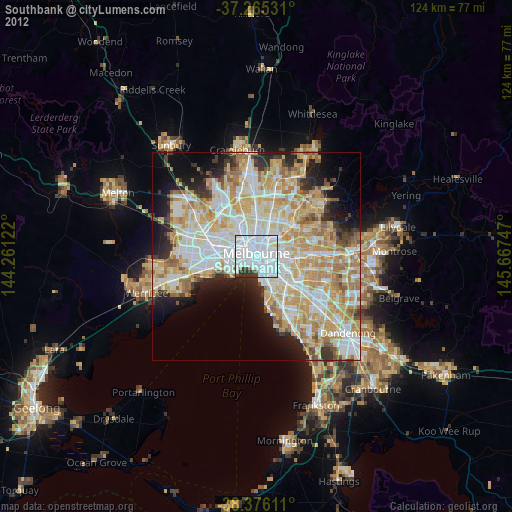
» Earth at Night: Flat Maps 2012, 2016