Reedy Creek night lights from space
Night Light of Reedy Creek (Queensland) from space (Australia) Src. Average luminocity for 10x10km area is 49.2689% and for 50x50km: 14.0927%.
Analysis of Reedy Creek night lights 2016
Square area 10x10 km:
 12.5%
12.5%90-99
10.23%80-89
5.11%70-79
2.46%60-69
10.98%50-59
4.92%40-49
7.2%30-39
5.87%20-29
10.04%10-19
19.13%0-9
11.55%Square area 50x50 km:
2.61%90-99
2.69%80-89
1.24%70-79
1.05%60-69
3.69%50-59
1.59%40-49
1.68%30-39
1.73%20-29
3.47%10-19
7.41%0-9
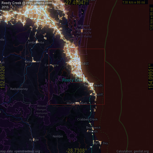
72.84%Clear (daylight) street map image can be seen on geolist.org.
Map coordinates:
27° 29' 25.7" South, 152° 41' 35.7" East
28° 6' 44.7" South, 153° 23' 47" East
28° 43' 50.9" South, 154° 5' 58.2" East
Some cities around Reedy Creek sort by population:
• Robina
4.6 km =2.9 mi,  356°
356°
• Palm Beach
6.8 km =4.2 mi,  94°
94°
• Varsity Lakes
3 km =1.9 mi,  31°
31°
• Burleigh Waters
3.1 km =1.9 mi,  63°
63°
• Mudgeeraba
4.4 km =2.7 mi,  317°
317°
• Elanora
5.8 km =3.6 mi,  116°
116°
• Burleigh Heads
5.4 km =3.4 mi,  75°
75°
• Miami
6.3 km =3.9 mi,  44°
44°
8347926 (p: 6,583)
Sources (retrieved 2019-11-25):
» Earth at Night: Flat Maps 2012, 2016