Kallangur night lights from space
Night Light of Kallangur (Queensland) from space (Australia) Src. Average luminocity for 10x10km area is 63.3409% and for 50x50km: 25.2783%.
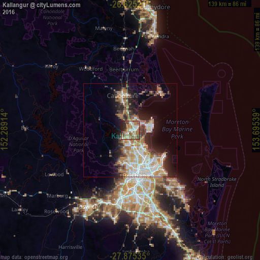
Analysis of Kallangur night lights 2016
Square area 10x10 km:
 11.36%
90-99
10.04%80-89
3.98%70-79
5.11%60-69
32.58%50-59
10.61%40-49
7.39%30-39
4.73%20-29
11.17%10-19
3.03%0-9
0%Square area 50x50 km:
4.87%90-99
5.18%80-89
3.03%70-79
2.28%60-69
6.75%50-59
2.16%40-49
2.67%30-39
3.1%20-29
4.76%10-19
9.49%0-9
55.7%Clear (daylight) street map image can be seen on geolist.org.
Map coordinates:
26° 37' 30.8" South, 152° 17' 20.9" East
27° 15' 7.3" South, 152° 59' 32.1" East
27° 52' 31.3" South, 153° 41' 43.4" East
Some cities around Kallangur sort by population:
• North Lakes
4.2 km =2.6 mi,  42°
42°
• Murrumba Downs
2.5 km =1.6 mi,  133°
133°
• Bray Park
5.1 km =3.2 mi,  208°
208°
• Strathpine
5.8 km =3.6 mi,  182°
182°
• Petrie
1.9 km =1.2 mi, 208°
• Mango Hill
3.3 km =2.1 mi,  73°
73°
• Griffin
5.1 km =3.2 mi,  114°
114°
• Lawnton
3.6 km =2.2 mi,  194°
194°
6943560 (p: 20,222)
Sources (retrieved 2019-11-25):
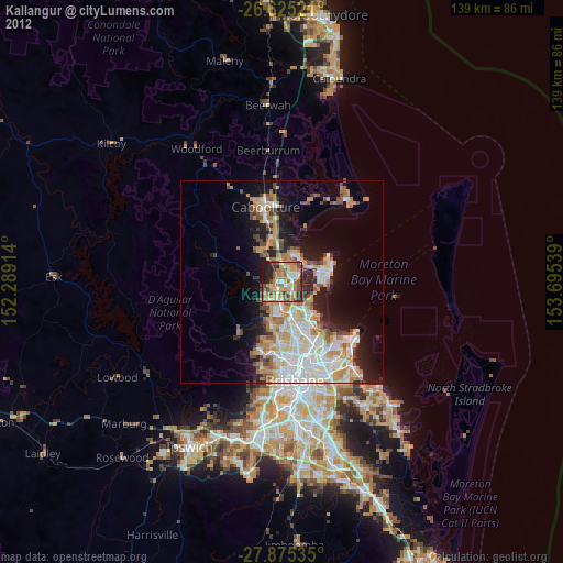
» Earth at Night: Flat Maps 2012, 2016