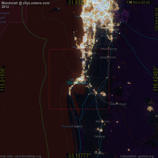
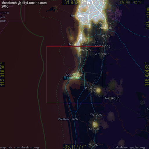
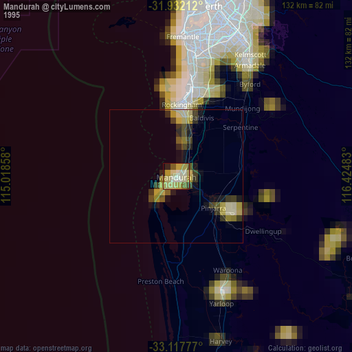
Mandurah night lights from space
Night Light of Mandurah (Western Australia) from space (Australia) Src. Average luminocity for 10x10km area is 41.4212% and for 50x50km: 7.1373%.
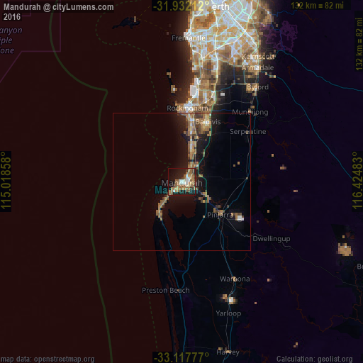
Analysis of Mandurah night lights 2016
Square area 10x10 km:
 4.58%
4.58%90-99
4.21%80-89
3.66%70-79
6.23%60-69
13%50-59
12.27%40-49
3.11%30-39
4.95%20-29
8.06%10-19
28.57%0-9
11.36%Square area 50x50 km:
0.39%90-99
0.49%80-89
0.52%70-79
0.61%60-69
2.44%50-59
1.91%40-49
0.86%30-39
1.29%20-29
1.4%10-19
6.44%0-9
83.64%Clear (daylight) street map image can be seen on geolist.org.
Map coordinates:
31° 55' 55.6" South, 115° 1' 6.9" East
32° 31' 36.8" South, 115° 43' 18.1" East
33° 7' 4" South, 116° 25' 29.4" East
Some cities around Mandurah sort by population:
• Port Kennedy
17.3 km =10.7 mi,  9°
9°
• Halls Head
3 km =1.9 mi,  232°
232°
• Secret Harbour
13.9 km =8.6 mi, 14°
• Warnbro
20.9 km =13 mi, 6°
• Greenfields
3.9 km =2.4 mi,  85°
85°
• Meadow Springs
4.4 km =2.7 mi,  41°
41°
• Dudley Park
2.9 km =1.8 mi,  162°
162°
• Dawesville
14.6 km =9.1 mi,  216°
216°
2067119 (p: 83,294)
Sources (retrieved 2019-11-25):
» NASA, Earths city lights 1995
» NASA city lights 2003
» Earth at Night: Flat Maps 2012, 2016