Greenfields night lights from space
Night Light of Greenfields (Western Australia) from space (Australia) Src. Average luminocity for 10x10km area is 38.8187% and for 50x50km: 7.351%.
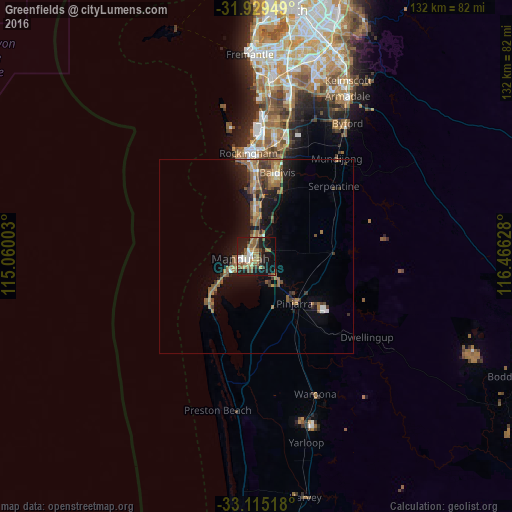
Analysis of Greenfields night lights 2016
Square area 10x10 km:
 4.21%
4.21%90-99
3.85%80-89
3.85%70-79
5.31%60-69
10.07%50-59
9.89%40-49
4.4%30-39
5.49%20-29
9.16%10-19
33.7%0-9
10.07%Square area 50x50 km:
0.39%90-99
0.5%80-89
0.52%70-79
0.62%60-69
2.52%50-59
2.01%40-49
0.91%30-39
1.39%20-29
1.44%10-19
6.51%0-9
83.19%Clear (daylight) street map image can be seen on geolist.org.
Map coordinates:
31° 55' 46.2" South, 115° 3' 36.1" East
32° 31' 27.4" South, 115° 45' 47.3" East
33° 6' 54.6" South, 116° 27' 58.6" East
Some cities around Greenfields sort by population:
• Mandurah
3.9 km =2.4 mi,  265°
265°
• Port Kennedy
16.8 km =10.4 mi,  356°
356°
• Halls Head
6.6 km =4.1 mi,  251°
251°
• Secret Harbour
13.2 km =8.2 mi, 358°
• Meadow Springs
3.2 km =2 mi,  343°
343°
• Mandurah city centre
2.8 km =1.7 mi, 265°
• Dudley Park
4.3 km =2.7 mi,  224°
224°
• Dawesville
17.4 km =10.8 mi,  226°
226°
8348609 (p: 9,620)
Sources (retrieved 2019-11-25):
» Earth at Night: Flat Maps 2012, 2016