Leeton night lights from space
Night Light of Leeton (New South Wales) from space (Australia) Src. Average luminocity for 10x10km area is 12.4878% and for 50x50km: 0.7617%.
Analysis of Leeton night lights 2016
Square area 10x10 km:
 1.92%
1.92%90-99
1.57%80-89
0.35%70-79
1.22%60-69
3.67%50-59
1.75%40-49
2.1%30-39
0.7%20-29
1.4%10-19
0.17%0-9
85.14%Square area 50x50 km:
0.08%90-99
0.06%80-89
0.01%70-79
0.13%60-69
0.29%50-59
0.1%40-49
0.08%30-39
0.11%20-29
0.09%10-19
0.07%0-9
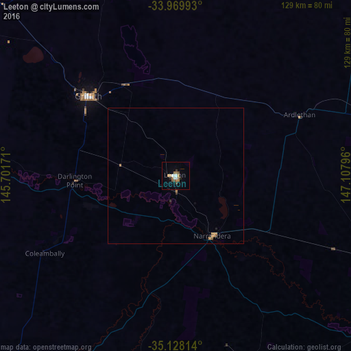
98.97%Clear (daylight) street map image can be seen on geolist.org.
Map coordinates:
33° 58' 11.7" South, 145° 42' 6.2" East
34° 33' 3.8" South, 146° 24' 17.4" East
35° 7' 41.3" South, 147° 6' 28.7" East
Some cities around Leeton sort by population:
• Griffith
43.7 km =27.2 mi,  311°
311°
• Wagga Wagga
107.6 km =66.9 mi,  126°
126°
• Yarrawonga
167.3 km =104 mi,  192°
192°
• Kooringal
110.3 km =68.5 mi, 126°
• Cootamundra
148.9 km =92.5 mi,  93°
93°
• Lake Albert
112.5 km =69.9 mi, 127°
• Corowa
160.8 km =99.9 mi,  180°
180°
• Glenfield Park
106.9 km =66.4 mi, 127°
2160413 (p: 8,634)
Sources (retrieved 2019-11-25):
» Earth at Night: Flat Maps 2012, 2016