Griffith night lights from space
Night Light of Griffith (New South Wales) from space (Australia) Src. Average luminocity for 10x10km area is 21.837% and for 50x50km: 1.0704%.
Analysis of Griffith night lights 2016
Square area 10x10 km:
 2.56%
2.56%90-99
1.83%80-89
0%70-79
3.48%60-69
10.62%50-59
2.56%40-49
1.65%30-39
1.1%20-29
1.28%10-19
16.48%0-9
58.42%Square area 50x50 km:
0.1%90-99
0.07%80-89
0%70-79
0.22%60-69
0.48%50-59
0.1%40-49
0.12%30-39
0.07%20-29
0.05%10-19
0.65%0-9
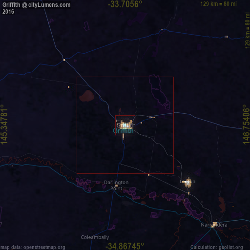
98.14%Clear (daylight) street map image can be seen on geolist.org.
Map coordinates:
33° 42' 20.2" South, 145° 20' 52.1" East
34° 17' 18.7" South, 146° 3' 3.3" East
34° 52' 2.8" South, 146° 45' 14.6" East
Some cities around Griffith sort by population:
• Leeton
43.7 km =27.2 mi,  131°
131°
• Deniliquin
170.7 km =106.1 mi,  215°
215°
• Wagga Wagga
151.2 km =94 mi, 128°
• Kooringal
153.8 km =95.6 mi, 128°
• Cootamundra
185.5 km =115.3 mi,  102°
102°
• Lake Albert
156.1 km =97 mi, 128°
• Cobram
185.3 km =115.1 mi,  191°
191°
• Glenfield Park
150.4 km =93.5 mi, 128°
2164422 (p: 18,154)
Sources (retrieved 2019-11-25):
» Earth at Night: Flat Maps 2012, 2016