Kosciuszko National Park night lights from space
Night Light of Kosciuszko National Park (New South Wales) from space (Australia) Src. Average luminocity for 10x10km area is 0% and for 50x50km: 0.0605%.
Analysis of Kosciuszko National Park night lights 2016
Square area 10x10 km:
 0%
0%90-99
0%80-89
0%70-79
0%60-69
0%50-59
0%40-49
0%30-39
0%20-29
0%10-19
0%0-9
100%Square area 50x50 km:
0%90-99
0%80-89
0%70-79
0%60-69
0.03%50-59
0.03%40-49
0.01%30-39
0.05%20-29
0.03%10-19
0%0-9
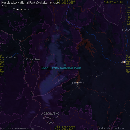
99.86%Clear (daylight) street map image can be seen on geolist.org.
Map coordinates:
35° 41' 43.4" South, 147° 46' 43.2" East
36° 15' 51.7" South, 148° 28' 54.4" East
36° 49' 45.2" South, 149° 11' 5.7" East
Some cities around Kosciuszko National Park sort by population:
• Kambah
110.6 km =68.7 mi,  28°
28°
• Gordon
105 km =65.2 mi, 31°
• Wanniassa
110.9 km =68.9 mi, 29°
• Cooma
57.7 km =35.9 mi,  86°
86°
• Jindabyne
21.2 km =13.2 mi,  143°
143°
• Tumut
109.1 km =67.8 mi,  347°
347°
• Calwell
107.6 km =66.9 mi, 31°
• Monash
109.2 km =67.9 mi, 30°
8347851 (p: 7,891)
Sources (retrieved 2019-11-25):
» Earth at Night: Flat Maps 2012, 2016