Cooma night lights from space
Night Light of Cooma (New South Wales) from space (Australia) Src. Average luminocity for 10x10km area is 4.4108% and for 50x50km: 0.1748%.
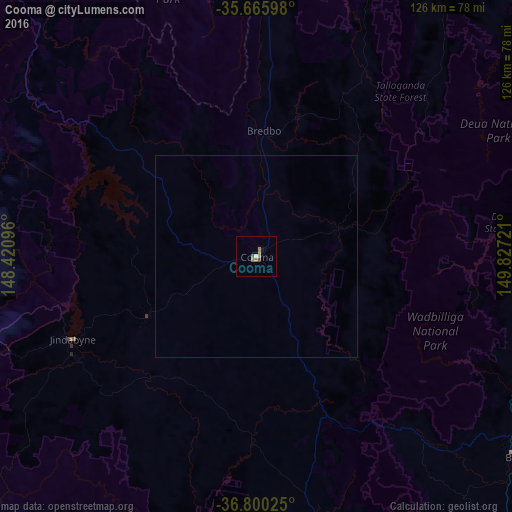
Analysis of Cooma night lights 2016
Square area 10x10 km:
 0.17%
0.17%90-99
0.52%80-89
0%70-79
0.52%60-69
2.45%50-59
1.22%40-49
0.52%30-39
0.17%20-29
0%10-19
1.05%0-9
93.36%Square area 50x50 km:
0.01%90-99
0.02%80-89
0%70-79
0.02%60-69
0.1%50-59
0.05%40-49
0.02%30-39
0.01%20-29
0%10-19
0.04%0-9
99.74%Clear (daylight) street map image can be seen on geolist.org.
Map coordinates:
35° 39' 57.5" South, 148° 25' 15.5" East
36° 14' 6.6" South, 149° 7' 26.7" East
36° 48' 0.9" South, 149° 49' 38" East
Some cities around Cooma sort by population:
• Kambah
94.6 km =58.8 mi,  356°
356°
• Kosciuszko National Park
57.7 km =35.9 mi,  266°
266°
• Gordon
86.6 km =53.8 mi, 357°
• Wanniassa
93.2 km =57.9 mi, 358°
• Jindabyne
49.3 km =30.6 mi,  245°
245°
• Calwell
88.4 km =54.9 mi, 359°
• Monash
91.2 km =56.7 mi, 358°
• Chisholm
91.5 km =56.9 mi,  0°
0°
2170577 (p: 6,555)
Sources (retrieved 2019-11-25):
» Earth at Night: Flat Maps 2012, 2016