Hornsby night lights from space
Night Light of Hornsby (New South Wales) from space (Australia) Src. Average luminocity for 10x10km area is 51.5788% and for 50x50km: 41.5785%.
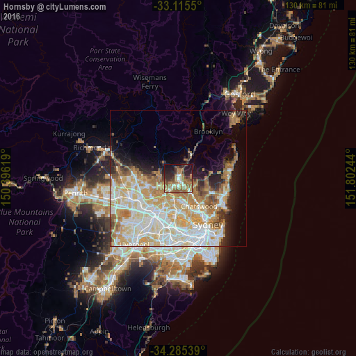
Analysis of Hornsby night lights 2016
Square area 10x10 km:
 5.68%
5.68%90-99
7.51%80-89
2.93%70-79
9.16%60-69
17.95%50-59
12.45%40-49
4.95%30-39
7.33%20-29
16.12%10-19
15.38%0-9
0.55%Square area 50x50 km:
9.85%90-99
10.88%80-89
5.98%70-79
7.14%60-69
7.28%50-59
3.15%40-49
2.15%30-39
2.72%20-29
3.87%10-19
6.97%0-9
40.01%Clear (daylight) street map image can be seen on geolist.org.
Map coordinates:
33° 6' 55.8" South, 150° 23' 46.3" East
33° 42' 8.8" South, 151° 5' 57.5" East
34° 17' 7.4" South, 151° 48' 8.8" East
Some cities around Hornsby sort by population:
• Cherrybrook
5.4 km =3.4 mi,  246°
246°
• Wahroonga
2.3 km =1.4 mi,  139°
139°
• Turramurra
4.4 km =2.7 mi, 141°
• Thornleigh
3.8 km =2.4 mi,  209°
209°
• Pennant Hills
4.7 km =2.9 mi, 212°
• Mount Colah
2.7 km =1.7 mi,  37°
37°
• Waitara
1 km =0.6 mi,  158°
158°
• Normanhurst
2.4 km =1.5 mi,  187°
187°
2163137 (p: 22,335)
Sources (retrieved 2019-11-25):
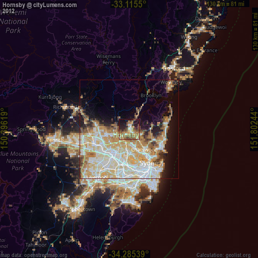
» Earth at Night: Flat Maps 2012, 2016