Golden Grove night lights from space
Night Light of Golden Grove (South Australia) from space (Australia) Src. Average luminocity for 10x10km area is 36.7161% and for 50x50km: 24.9201%.
Analysis of Golden Grove night lights 2016
Square area 10x10 km:
 1.65%
1.65%90-99
3.11%80-89
2.75%70-79
10.81%60-69
12.27%50-59
10.26%40-49
4.76%30-39
2.75%20-29
7.88%10-19
16.12%0-9
27.66%Square area 50x50 km:
5.54%90-99
5.94%80-89
2.76%70-79
4.69%60-69
3.58%50-59
2.66%40-49
1.83%30-39
1.98%20-29
4.21%10-19
7.49%0-9
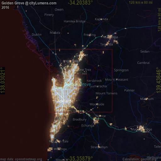
59.33%Clear (daylight) street map image can be seen on geolist.org.
Map coordinates:
34° 12' 13.8" South, 138° 1' 48.8" East
34° 46' 60" South, 138° 43' 60" East
35° 21' 31.6" South, 139° 26' 11.3" East
Some cities around Golden Grove sort by population:
• Salisbury East
7.2 km =4.5 mi,  263°
263°
• Greenwith
2.7 km =1.7 mi,  317°
317°
• Hope Valley
6.3 km =3.9 mi,  208°
208°
• Wynn Vale
4.6 km =2.9 mi,  247°
247°
• Modbury Heights
5.3 km =3.3 mi,  236°
236°
• Modbury
7.2 km =4.5 mi,  219°
219°
• Redwood Park
4 km =2.5 mi, 217°
• Salisbury Heights
5.7 km =3.5 mi,  293°
293°
2070711 (p: 10,017)
Sources (retrieved 2019-11-25):
» Earth at Night: Flat Maps 2012, 2016