Wynn Vale night lights from space
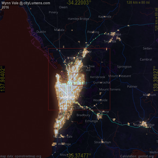
Night Light of Wynn Vale (South Australia) from space (Australia) Src. Average luminocity for 10x10km area is 75.2601% and for 50x50km: 25.8619%.
Analysis of Wynn Vale night lights 2016
Square area 10x10 km:
 14.65%
90-99
16.85%80-89
10.99%70-79
23.63%60-69
13.19%50-59
9.71%40-49
4.03%30-39
1.65%20-29
4.21%10-19
1.1%0-9
0%Square area 50x50 km:
5.71%90-99
6.1%80-89
2.8%70-79
4.76%60-69
3.69%50-59
2.85%40-49
1.98%30-39
2.02%20-29
4.4%10-19
8.44%0-9
57.24%Clear (daylight) street map image can be seen on geolist.org.
Map coordinates:
34° 13' 12.1" South, 137° 59' 2.5" East
34° 47' 57.9" South, 138° 41' 13.7" East
35° 22' 29.2" South, 139° 23' 25" East
Some cities around Wynn Vale sort by population:
• Salisbury East
3.1 km =1.9 mi,  288°
288°
• Hope Valley
3.9 km =2.4 mi,  162°
162°
• Modbury Heights
1.2 km =0.7 mi,  187°
187°
• Para Hills
3 km =1.9 mi,  242°
242°
• Modbury North
3.4 km =2.1 mi,  200°
200°
• Modbury
3.8 km =2.4 mi, 185°
• Redwood Park
2.3 km =1.4 mi,  126°
126°
• Salisbury Heights
4.2 km =2.6 mi,  345°
345°
8348084 (p: 7,610)
Sources (retrieved 2019-11-25):
» Earth at Night: Flat Maps 2012, 2016