Carrum Downs night lights from space
Night Light of Carrum Downs (Victoria) from space (Australia) Src. Average luminocity for 10x10km area is 55.0584% and for 50x50km: 27.4893%.
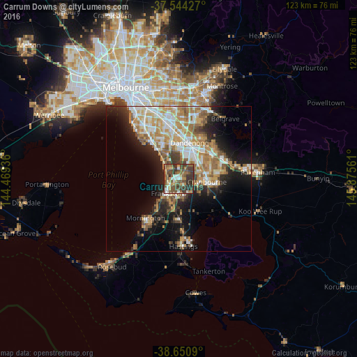

Analysis of Carrum Downs night lights 2016
Square area 10x10 km:
 7.14%
7.14%90-99
5.19%80-89
4.55%70-79
8.77%60-69
7.14%50-59
16.72%40-49
22.24%30-39
18.51%20-29
9.42%10-19
0.32%0-9
0%Square area 50x50 km:
4.68%90-99
5.36%80-89
2.5%70-79
5.24%60-69
4.85%50-59
4.49%40-49
3.09%30-39
3.18%20-29
5.19%10-19
11.17%0-9
50.25%Clear (daylight) street map image can be seen on geolist.org.
Map coordinates:
37° 32' 39.4" South, 144° 28' 9.7" East
38° 5' 58.8" South, 145° 10' 20.9" East
38° 39' 3.2" South, 145° 52' 32.2" East
Some cities around Carrum Downs sort by population:
• Frankston
6.6 km =4.1 mi,  220°
220°
• Frankston East
5.1 km =3.2 mi, 222°
• Seaford
3.4 km =2.1 mi,  269°
269°
• Skye
3.9 km =2.4 mi,  98°
98°
• Chelsea
7.4 km =4.6 mi,  318°
318°
• Patterson Lakes
4.2 km =2.6 mi, 322°
• Bonbeach
5.8 km =3.6 mi,  311°
311°
• Frankston North
3.4 km =2.1 mi, 218°
2172191 (p: 20,444)
Sources (retrieved 2019-11-25):
» Earth at Night: Flat Maps 2012, 2016