Figtree night lights from space
Night Light of Figtree (New South Wales) from space (Australia) Src. Average luminocity for 10x10km area is 59.8864% and for 50x50km: 8.034%.
Analysis of Figtree night lights 2016
Square area 10x10 km:
 13.81%
90-99
16.26%80-89
2.27%70-79
5.77%60-69
12.76%50-59
10.14%40-49
7.69%30-39
7.34%20-29
9.97%10-19
9.79%0-9
4.2%Square area 50x50 km:
0.81%90-99
1.05%80-89
0.39%70-79
0.81%60-69
2.08%50-59
1.44%40-49
1.03%30-39
1.59%20-29
2.96%10-19
5.93%0-9
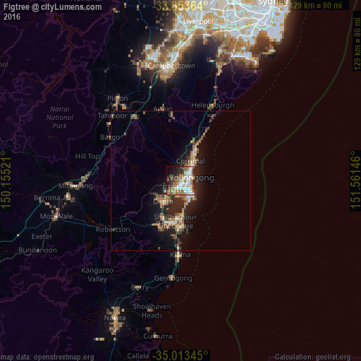
81.9%Clear (daylight) street map image can be seen on geolist.org.
Map coordinates:
33° 51' 13.1" South, 150° 9' 18.8" East
34° 26' 8" South, 150° 51' 30" East
35° 0' 48.4" South, 151° 33' 41.3" East
Some cities around Figtree sort by population:
• Wollongong
3.5 km =2.2 mi,  68°
68°
• Wollongong city centre
3.3 km =2.1 mi, 74°
• Berkeley
5.4 km =3.4 mi,  188°
188°
• Fairy Meadow
5.7 km =3.5 mi,  33°
33°
• Corrimal
7.6 km =4.7 mi, 33°
• Unanderra
2.2 km =1.4 mi,  207°
207°
• Balgownie
4.9 km =3 mi,  24°
24°
• Port Kembla
6.5 km =4 mi,  142°
142°
2206115 (p: 11,376)
Sources (retrieved 2019-11-25):
» Earth at Night: Flat Maps 2012, 2016