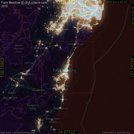
Fairy Meadow night lights from space
Night Light of Fairy Meadow (New South Wales) from space (Australia) Src. Average luminocity for 10x10km area is 40.9423% and for 50x50km: 8.1154%.
Analysis of Fairy Meadow night lights 2016
Square area 10x10 km:
 5.24%
5.24%90-99
8.22%80-89
4.02%70-79
6.12%60-69
4.02%50-59
8.57%40-49
4.55%30-39
5.59%20-29
14.69%10-19
31.64%0-9
7.34%Square area 50x50 km:
0.83%90-99
1.03%80-89
0.4%70-79
0.84%60-69
2.19%50-59
1.49%40-49
1.08%30-39
1.61%20-29
2.94%10-19
5.77%0-9
81.82%Clear (daylight) street map image can be seen on geolist.org.
Map coordinates:
33° 48' 39" South, 150° 11' 22.7" East
34° 23' 34.9" South, 150° 53' 33.9" East
34° 58' 16.4" South, 151° 35' 45.2" East
Some cities around Fairy Meadow sort by population:
• Wollongong
3.4 km =2.1 mi,  178°
178°
• Wollongong city centre
3.9 km =2.4 mi, 180°
• Woonona
5.3 km =3.3 mi,  22°
22°
• Figtree
5.7 km =3.5 mi,  213°
213°
• Corrimal
1.9 km =1.2 mi,  31°
31°
• Bulli
6.4 km =4 mi, 17°
• Unanderra
7.9 km =4.9 mi, 211°
• Balgownie
1.1 km =0.7 mi,  258°
258°
2206108 (p: 7,283)
Sources (retrieved 2019-11-25):
» Earth at Night: Flat Maps 2012, 2016