Bulli night lights from space
Night Light of Bulli (New South Wales) from space (Australia) Src. Average luminocity for 10x10km area is 23.7985% and for 50x50km: 7.1505%.
Analysis of Bulli night lights 2016
Square area 10x10 km:
 0.73%
0.73%90-99
1.47%80-89
1.83%70-79
4.58%60-69
6.96%50-59
4.76%40-49
3.11%30-39
4.4%20-29
2.01%10-19
29.85%0-9
40.29%Square area 50x50 km:
0.74%90-99
0.9%80-89
0.3%70-79
0.75%60-69
1.73%50-59
1.32%40-49
0.89%30-39
1.39%20-29
2.76%10-19
5.45%0-9
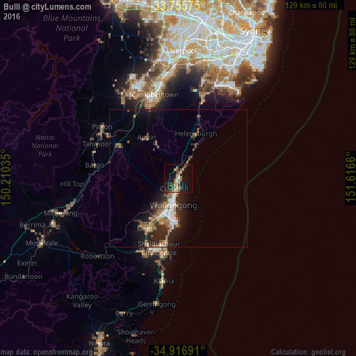
83.78%Clear (daylight) street map image can be seen on geolist.org.
Map coordinates:
33° 45' 20.7" South, 150° 12' 37.3" East
34° 20' 18" South, 150° 54' 48.5" East
34° 55' 0.9" South, 151° 36' 59.8" East
Some cities around Bulli sort by population:
• Wollongong
9.7 km =6 mi,  190°
190°
• Wollongong city centre
10.1 km =6.3 mi, 190°
• Woonona
1.2 km =0.7 mi,  175°
175°
• Figtree
11.9 km =7.4 mi,  205°
205°
• Fairy Meadow
6.4 km =4 mi,  197°
197°
• Corrimal
4.6 km =2.9 mi, 191°
• Thirroul
2.6 km =1.6 mi,  16°
16°
• Balgownie
7 km =4.3 mi, 205°
2173445 (p: 6,025)
Sources (retrieved 2019-11-25):
» Earth at Night: Flat Maps 2012, 2016