Chisholm night lights from space
Night Light of Chisholm (ACT) from space (Australia) Src. Average luminocity for 10x10km area is 52.8462% and for 50x50km: 14.6827%.
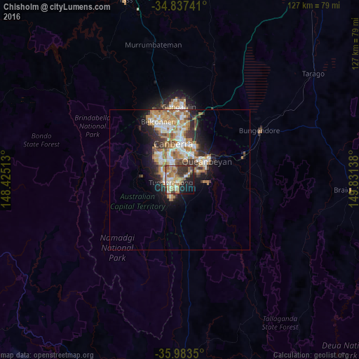
Analysis of Chisholm night lights 2016
Square area 10x10 km:
 5.49%
5.49%90-99
9.16%80-89
7.88%70-79
10.81%60-69
14.47%50-59
6.78%40-49
4.4%30-39
12.82%20-29
9.71%10-19
14.1%0-9
4.4%Square area 50x50 km:
2.33%90-99
2.92%80-89
1.38%70-79
2.28%60-69
3.75%50-59
1.73%40-49
1.27%30-39
2.4%20-29
2.86%10-19
5.5%0-9
73.56%Clear (daylight) street map image can be seen on geolist.org.
Map coordinates:
34° 50' 14.7" South, 148° 25' 30.5" East
35° 24' 45" South, 149° 7' 41.7" East
35° 59' 0.6" South, 149° 49' 53" East
Some cities around Chisholm sort by population:
• Kambah
7 km =4.3 mi,  294°
294°
• Jerrabomberra
7.4 km =4.6 mi,  65°
65°
• Karabar
10.3 km =6.4 mi, 66°
• Gordon
6.3 km =3.9 mi,  218°
218°
• Wanniassa
3.8 km =2.4 mi,  295°
295°
• Narrabundah
8.7 km =5.4 mi,  12°
12°
• Calwell
3.7 km =2.3 mi,  211°
211°
• Monash
3.4 km =2.1 mi,  263°
263°
8349303 (p: 5,045)
Sources (retrieved 2019-11-25):
» Earth at Night: Flat Maps 2012, 2016