Cheltenham night lights from space
Night Light of Cheltenham (Victoria) from space (Australia) Src. Average luminocity for 10x10km area is 65.7565% and for 50x50km: 47.066%.
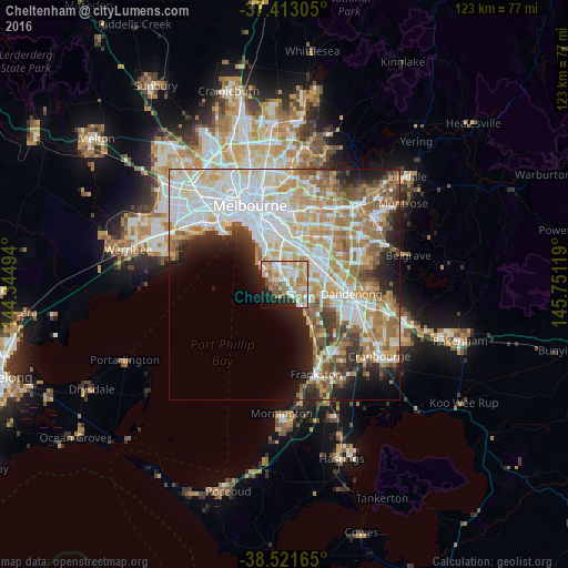
Analysis of Cheltenham night lights 2016
Square area 10x10 km:
 12.34%
90-99
17.05%80-89
7.63%70-79
16.56%60-69
12.5%50-59
8.12%40-49
2.76%30-39
1.62%20-29
9.58%10-19
9.25%0-9
2.6%Square area 50x50 km:
12.86%90-99
11.21%80-89
5.46%70-79
7.51%60-69
7.12%50-59
5.74%40-49
3.59%30-39
3.6%20-29
5.3%10-19
6.84%0-9
30.78%Clear (daylight) street map image can be seen on geolist.org.
Map coordinates:
37° 24' 47" South, 144° 20' 41.8" East
37° 58' 10" South, 145° 2' 53" East
38° 31' 17.9" South, 145° 45' 4.3" East
Some cities around Cheltenham sort by population:
• Beaumaris
2.2 km =1.4 mi,  215°
215°
• Mentone
2.2 km =1.4 mi,  133°
133°
• Parkdale
3.8 km =2.4 mi, 130°
• Highett
2.2 km =1.4 mi,  4°
4°
• Sandringham
3.8 km =2.4 mi,  300°
300°
• Mordialloc
4.6 km =2.9 mi,  137°
137°
• Black Rock
2.8 km =1.7 mi,  260°
260°
• Moorabbin
3.2 km =2 mi,  15°
15°
2207618 (p: 21,837)
Sources (retrieved 2019-11-25):
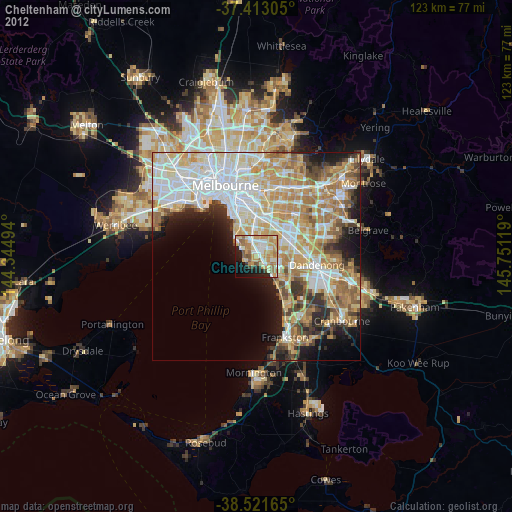
» Earth at Night: Flat Maps 2012, 2016