Canning Vale night lights from space
Night Light of Canning Vale (Western Australia) from space (Australia) Src. Average luminocity for 10x10km area is 85.493% and for 50x50km: 41.1178%.
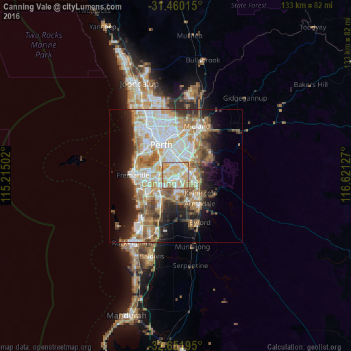
Analysis of Canning Vale night lights 2016
Square area 10x10 km:
 17.66%
90-99
24.48%80-89
20.63%70-79
28.67%60-69
6.99%50-59
1.57%40-49
0%30-39
0%20-29
0%10-19
0%0-9
0%Square area 50x50 km:
9.29%90-99
9.9%80-89
4.48%70-79
5.86%60-69
8.1%50-59
5%40-49
3.57%30-39
3.41%20-29
6.3%10-19
8.41%0-9
35.68%Clear (daylight) street map image can be seen on geolist.org.
Map coordinates:
31° 27' 36.5" South, 115° 12' 54.1" East
32° 3' 28.8" South, 115° 55' 5.3" East
32° 39' 7" South, 116° 37' 16.6" East
Some cities around Canning Vale sort by population:
• Thornlie
3.5 km =2.2 mi,  93°
93°
• Willetton
2.9 km =1.8 mi,  282°
282°
• Huntingdale
5.3 km =3.3 mi,  121°
121°
• Wilson
4.2 km =2.6 mi,  351°
351°
• Parkwood
1 km =0.6 mi,  1°
1°
• Kenwick
5.3 km =3.3 mi,  59°
59°
• Langford
2.9 km =1.8 mi,  49°
49°
• Riverton
3.2 km =2 mi,  324°
324°
7302631 (p: 32,593)
Sources (retrieved 2019-11-25):
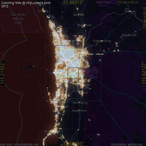
» Earth at Night: Flat Maps 2012, 2016