Parkwood night lights from space
Night Light of Parkwood (Western Australia) from space (Australia) Src. Average luminocity for 10x10km area is 86.7675% and for 50x50km: 41.3419%.
Analysis of Parkwood night lights 2016
Square area 10x10 km:
 18.36%
90-99
26.57%80-89
21.68%70-79
29.02%60-69
4.2%50-59
0.17%40-49
0%30-39
0%20-29
0%10-19
0%0-9
0%Square area 50x50 km:
9.22%90-99
9.86%80-89
4.66%70-79
5.99%60-69
8.17%50-59
4.93%40-49
3.52%30-39
3.58%20-29
6.53%10-19
8.46%0-9
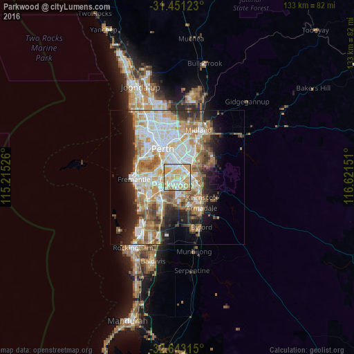
35.1%Clear (daylight) street map image can be seen on geolist.org.
Map coordinates:
31° 27' 4.4" South, 115° 12' 54.9" East
32° 2' 56.9" South, 115° 55' 6.2" East
32° 38' 35.3" South, 116° 37' 17.4" East
Some cities around Parkwood sort by population:
• Canning Vale
1 km =0.6 mi,  181°
181°
• Thornlie
3.7 km =2.3 mi,  109°
109°
• Willetton
2.9 km =1.8 mi,  262°
262°
• Beckenham
4.8 km =3 mi,  55°
55°
• Wilson
3.2 km =2 mi,  348°
348°
• Cannington
4 km =2.5 mi,  25°
25°
• Langford
2.4 km =1.5 mi,  67°
67°
• Riverton
2.5 km =1.6 mi,  310°
310°
10056974 (p: 5,877)
Sources (retrieved 2019-11-25):
» Earth at Night: Flat Maps 2012, 2016