Boondall night lights from space
Night Light of Boondall (Queensland) from space (Australia) Src. Average luminocity for 10x10km area is 75.4451% and for 50x50km: 34.6819%.
Analysis of Boondall night lights 2016
Square area 10x10 km:
 18.18%
90-99
22.16%80-89
12.88%70-79
12.31%60-69
14.77%50-59
3.03%40-49
1.52%30-39
4.55%20-29
8.14%10-19
2.46%0-9
0%Square area 50x50 km:
6.75%90-99
7.53%80-89
4.46%70-79
4.52%60-69
8.75%50-59
2.71%40-49
3.67%30-39
3.96%20-29
5.94%10-19
9.34%0-9
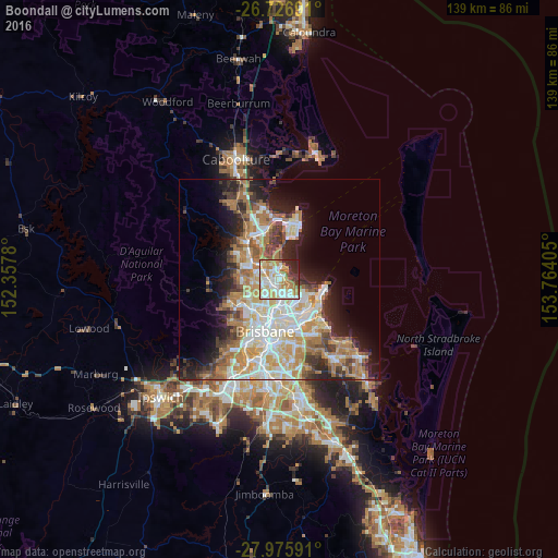
42.36%Clear (daylight) street map image can be seen on geolist.org.
Map coordinates:
26° 43' 36.9" South, 152° 21' 28.1" East
27° 21' 11.4" South, 153° 3' 39.3" East
27° 58' 33.3" South, 153° 45' 50.6" East
Some cities around Boondall sort by population:
• Aspley
4.6 km =2.9 mi,  251°
251°
• Chermside
4.6 km =2.9 mi,  220°
220°
• Wavell Heights
4.7 km =2.9 mi,  196°
196°
• Carseldine
3.8 km =2.4 mi,  279°
279°
• Zillmere
1.6 km =1 mi,  259°
259°
• Taigum
2 km =1.2 mi,  305°
305°
• Banyo
3.7 km =2.3 mi,  151°
151°
• Fitzgibbon
3.5 km =2.2 mi,  295°
295°
2174740 (p: 9,181)
Sources (retrieved 2019-11-25):
» Earth at Night: Flat Maps 2012, 2016