Alice Springs night lights from space
Night Light of Alice Springs (Northern Territory) from space (Australia) Src. Average luminocity for 10x10km area is 37.3294% and for 50x50km: 2.2988%.
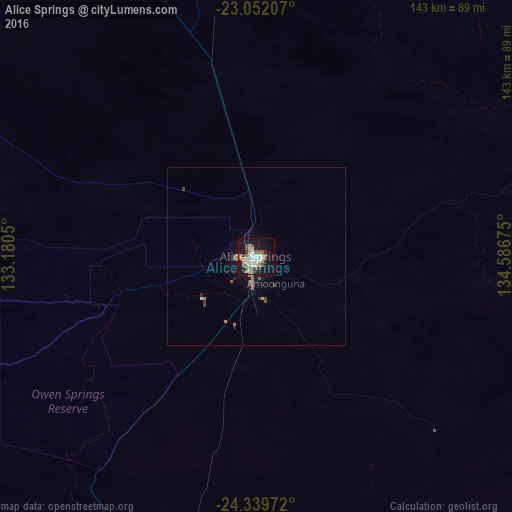
Analysis of Alice Springs night lights 2016
Square area 10x10 km:
 6.35%
6.35%90-99
7.54%80-89
4.96%70-79
3.17%60-69
5.75%50-59
4.56%40-49
7.14%30-39
1.39%20-29
3.57%10-19
37.5%0-9
18.06%Square area 50x50 km:
0.27%90-99
0.32%80-89
0.23%70-79
0.17%60-69
0.47%50-59
0.34%40-49
0.41%30-39
0.18%20-29
0.26%10-19
2.34%0-9
95.01%Clear (daylight) street map image can be seen on geolist.org.
Map coordinates:
23° 3' 7.5" South, 133° 10' 49.8" East
23° 41' 50.9" South, 133° 53' 1" East
24° 20' 23" South, 134° 35' 12.3" East
Some cities around Alice Springs sort by population:
• Mount Isa
665.6 km =413.6 mi,  60°
60°
• Broken Hill
1181.9 km =734.4 mi,  141°
141°
• Port Lincoln
1241.3 km =771.3 mi,  171°
171°
• Port Pirie
1130.1 km =702.2 mi,  159°
159°
• Kununurra
1031.6 km =641 mi,  328°
328°
• Whyalla Norrie
1097.2 km =681.8 mi, 161°
• Whyalla Stuart
1096.4 km =681.3 mi, 161°
• Port Augusta
1049.8 km =652.3 mi, 158°
2077895 (p: 25,186)
Sources (retrieved 2019-11-25):
» Earth at Night: Flat Maps 2012, 2016