Mount Isa night lights from space
Night Light of Mount Isa (Queensland) from space (Australia) Src. Average luminocity for 10x10km area is 35.9754% and for 50x50km: 2.0776%.
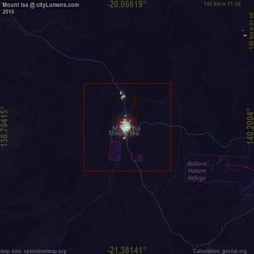
Analysis of Mount Isa night lights 2016
Square area 10x10 km:
 7.2%
7.2%90-99
8.52%80-89
3.03%70-79
1.52%60-69
5.3%50-59
5.68%40-49
3.6%30-39
3.6%20-29
6.63%10-19
36.55%0-9
18.37%Square area 50x50 km:
0.34%90-99
0.4%80-89
0.18%70-79
0.1%60-69
0.26%50-59
0.3%40-49
0.18%30-39
0.34%20-29
0.28%10-19
1.99%0-9
95.63%Clear (daylight) street map image can be seen on geolist.org.
Map coordinates:
20° 3' 58.3" South, 138° 47' 38.9" East
20° 43' 30.8" South, 139° 29' 50.2" East
21° 22' 53.1" South, 140° 12' 1.4" East
Some cities around Mount Isa sort by population:
• Alice Springs
665.6 km =413.6 mi,  240°
240°
• Mareeba
749 km =465.4 mi,  56°
56°
• Kelso
768.7 km =477.6 mi,  78°
78°
• Charters Towers
708.8 km =440.4 mi, 84°
• Atherton
736.6 km =457.7 mi, 58°
• Bushland Beach
769.4 km =478.1 mi, 77°
• Condon
769.9 km =478.4 mi, 78°
• Burdell
770.1 km =478.5 mi, 77°
2065594 (p: 22,785)
Sources (retrieved 2019-11-25):
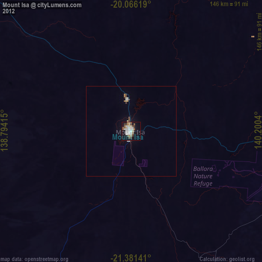
» Earth at Night: Flat Maps 2012, 2016