Vorchdorf night lights from space
Night Light of Vorchdorf (Upper Austria) from space (Austria) Src. Average luminocity for 10x10km area is 1.9574% and for 50x50km: 3.5289%.
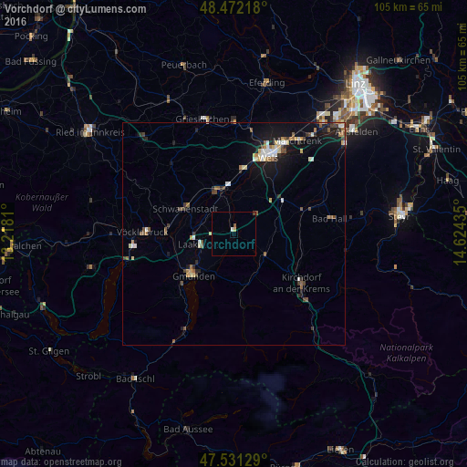
Analysis of Vorchdorf night lights 2016
Square area 10x10 km:
 0.43%
0.43%90-99
0.14%80-89
0.57%70-79
0%60-69
0%50-59
0.57%40-49
0.57%30-39
0%20-29
0%10-19
0%0-9
97.73%Square area 50x50 km:
0.38%90-99
0.54%80-89
0.33%70-79
0.38%60-69
0.4%50-59
0.6%40-49
0.53%30-39
0.45%20-29
0.59%10-19
2.82%0-9
92.98%Clear (daylight) street map image can be seen on geolist.org.
Map coordinates:
48° 28' 19.8" North, 13° 13' 5.2" East
48° 0' 14" North, 13° 55' 16.4" East
47° 31' 52.6" North, 14° 37' 27.7" East
Some cities around Vorchdorf sort by population:
• Wels
19.9 km =12.4 mi,  24°
24°
• Gmunden
13.1 km =8.1 mi,  223°
223°
• Laakirchen
7.8 km =4.8 mi,  251°
251°
• Attnang-Puchheim
15.2 km =9.4 mi,  271°
271°
• Kremsmünster
16.4 km =10.2 mi,  70°
70°
• Lichtenegg
17.3 km =10.7 mi, 19°
• Wimpassing
18.7 km =11.6 mi,  14°
14°
• Oberhaid
20.4 km =12.7 mi, 19°
2762290 (p: 7,475)
Sources (retrieved 2019-11-25):
» Earth at Night: Flat Maps 2012, 2016