Villach night lights from space
Night Light of Villach (Carinthia) from space (Austria) Src. Average luminocity for 10x10km area is 23.3097% and for 50x50km: 2.2499%.
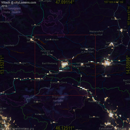
Analysis of Villach night lights 2016
Square area 10x10 km:
 3.13%
3.13%90-99
4.69%80-89
2.41%70-79
3.55%60-69
1.99%50-59
0.71%40-49
4.55%30-39
3.13%20-29
1.85%10-19
26.42%0-9
47.59%Square area 50x50 km:
0.22%90-99
0.46%80-89
0.25%70-79
0.27%60-69
0.14%50-59
0.28%40-49
0.42%30-39
0.29%20-29
0.3%10-19
1.22%0-9
96.16%Clear (daylight) street map image can be seen on geolist.org.
Map coordinates:
47° 5' 28.1" North, 13° 9' 9.8" East
46° 36' 37" North, 13° 51' 21" East
46° 7' 30.4" North, 14° 33' 32.3" East
Some cities around Villach sort by population:
• Jesenice, SI
25.7 km =16 mi,  141°
141°
• Finkenstein am Faaker See
7 km =4.3 mi,  119°
119°
• Auen
1.5 km =0.9 mi,  217°
217°
• Völkendorf
1.9 km =1.2 mi,  262°
262°
• Wölfnitz
31.3 km =19.4 mi,  78°
78°
• Lind
1.5 km =0.9 mi,  333°
333°
• Kranjska Gora, SI
18.1 km =11.2 mi,  199°
199°
• Zgornje Gorje, SI
30.4 km =18.9 mi,  147°
147°
2762372 (p: 58,882)
Sources (retrieved 2019-11-25):
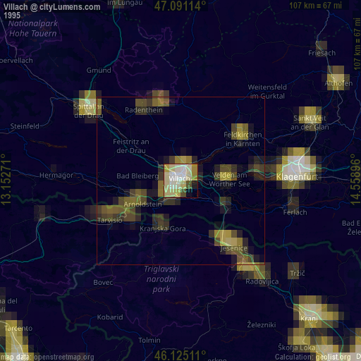
» NASA, Earths city lights 1995
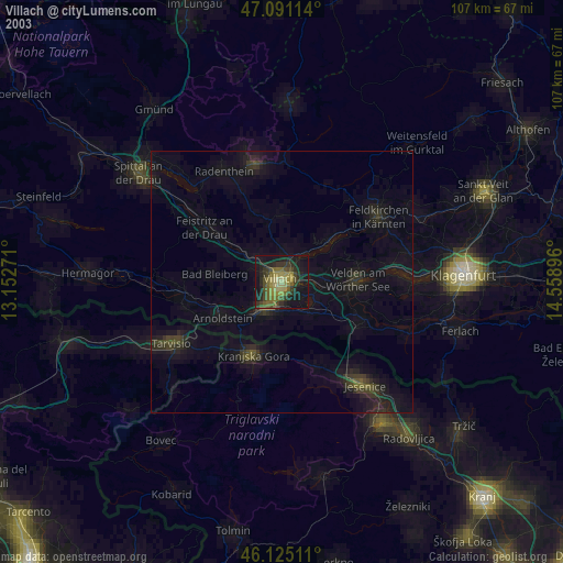
» NASA city lights 2003
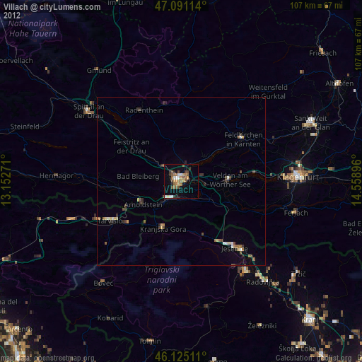
» Earth at Night: Flat Maps 2012, 2016