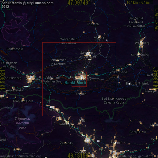
Sankt Martin night lights from space
Night Light of Sankt Martin (Carinthia) from space (Austria) Src. Average luminocity for 10x10km area is 25.5085% and for 50x50km: 2.6429%.
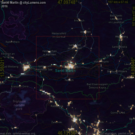
Analysis of Sankt Martin night lights 2016
Square area 10x10 km:
 3.84%
3.84%90-99
4.69%80-89
2.56%70-79
0.99%60-69
4.4%50-59
5.54%40-49
3.98%30-39
2.84%20-29
3.55%10-19
22.44%0-9
45.17%Square area 50x50 km:
0.32%90-99
0.42%80-89
0.27%70-79
0.22%60-69
0.23%50-59
0.48%40-49
0.49%30-39
0.36%20-29
0.37%10-19
1.52%0-9
95.32%Clear (daylight) street map image can be seen on geolist.org.
Map coordinates:
47° 5' 50.9" North, 13° 34' 48.8" East
46° 37' 0" North, 14° 16' 60" East
46° 7' 53.6" North, 14° 59' 11.3" East
Some cities around Sankt Martin sort by population:
• Klagenfurt am Wörthersee
1.9 km =1.2 mi,  61°
61°
• Jesenice, SI
26.5 km =16.5 mi,  218°
218°
• Annabichl
4.5 km =2.8 mi,  34°
34°
• Viktring
3 km =1.9 mi,  201°
201°
• Villacher Vorstadt
0.9 km =0.6 mi, 28°
• Finkenstein am Faaker See
26.9 km =16.7 mi,  261°
261°
• Wölfnitz
5.9 km =3.7 mi,  340°
340°
• Žirovnica, SI
26 km =16.2 mi, 204°
2766522 (p: 20,000)
Sources (retrieved 2019-11-25):
» Earth at Night: Flat Maps 2012, 2016